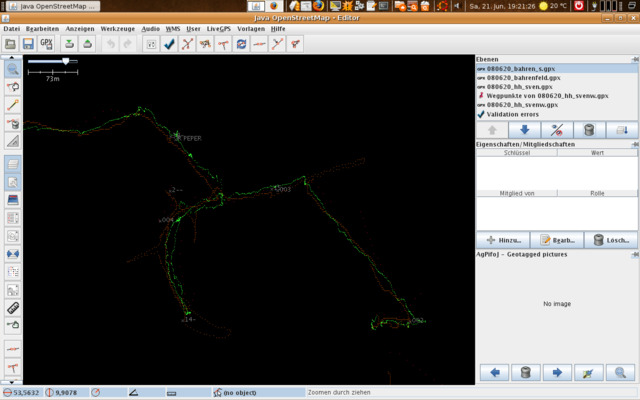
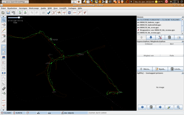
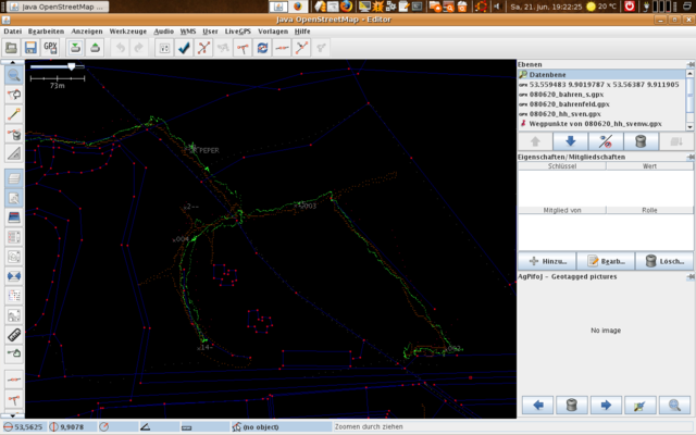
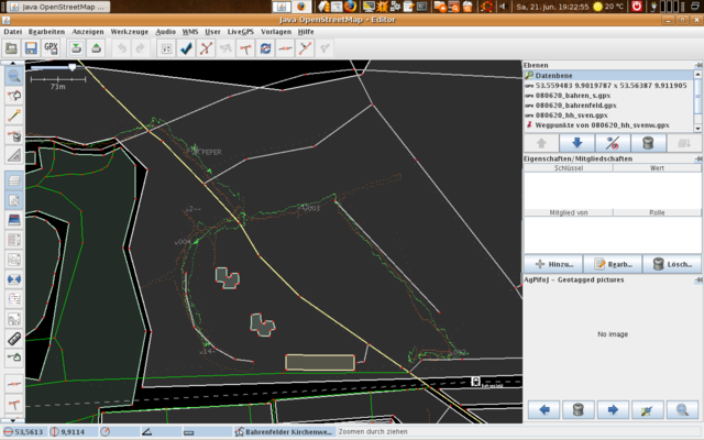
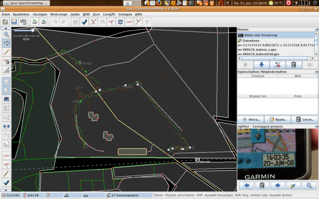
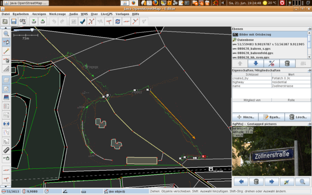
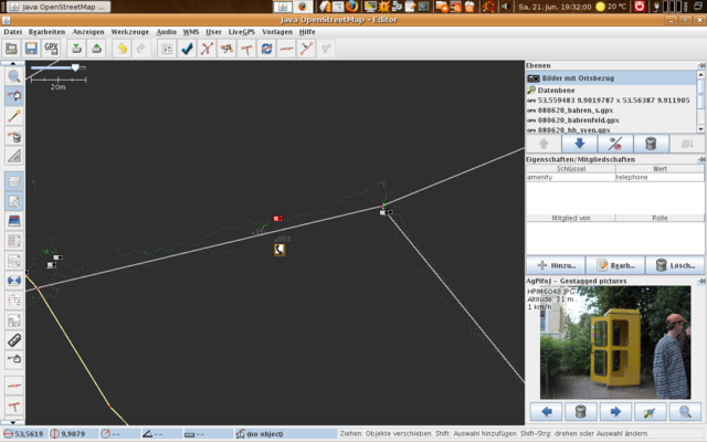
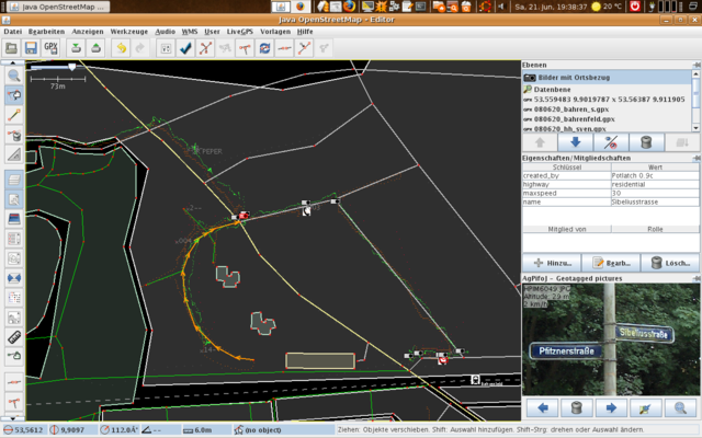
Bahrenfeld/Mappingparty 2008-06-20
Mapping 20.Juni 2008 Hamburg Bahrenfeld
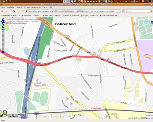
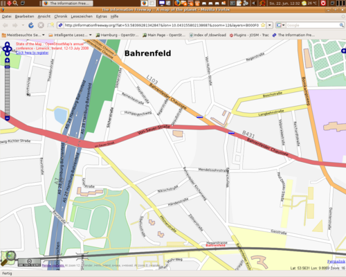
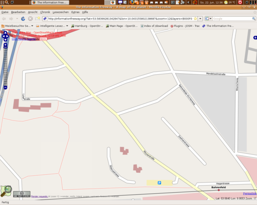
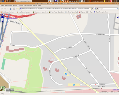
Screenshots
Linkliste
http://wiki.openstreetmap.org/index.php/Presentations
Transparenz: http://sautter.com/map/ http://labs.metacarta.com/osm/over-yahoo/?zoom=17&lat=7094021.46489&lon=1110511.7823&layers=BTFF http://openaerialmap.org/map/?zoom=12&lat=53.60478&lon=10.02923&layers=BT http://geggus.net/gmaps/gmaps-osm-fs.html?lat=52.44&lon=13.53&zoom=14
Topokarte: http://www.gravitystorm.co.uk/osm/?zoom=13&lat=6799524.34377&lon=1086293.50756&layers=B00
Vergleich Google <--> OSM: http://geo.topf.org/comparison/index.html?mt0=googlemap&mt1=tah&lon=10.00&lat=53.58&z=15 http://sautter.com/map/?zoom=14&lat=53.563&lon=9.89207&layers=B000TFFF
zum Rendern anregen: http://informationfreeway.org/
http://www.opentom.org/Open_PixelMap http://code.google.com/p/osmlab/ http://eworld.sourceforge.net/
http://www.pifpafpuf.de/cycleroute/ http://osm.planetschmidt.de/ http://www.osm4you.com/ http://tah.openstreetmap.org/Browse/?x=134&y=92&z=8&layer=tile
Visualisierung der Aktivität: http://www.refnum.com/osm/mapdiff/ http://dev.openstreetmap.org/~random/progress/ http://labs.geofabrik.de/history/
Interface mit Flash: http://www.afcomponents.com/components/umap_as3/
erste Luftbilder: http://openaerialmap.org/
Points of Interest: http://dev.openstreetmap.org/~kleptog/pois/pois.html
OSM-Routenplaner: http://marengo-ltd.com/map/development.html http://www.openrouteservice.org/ http://osm.gaming-inc.de/PHProute_v0.1-20080301.swf http://geggus.net/gmaps/routeplanner.html
zum Zusammenbauen größerer Karten: http://openstreetmap.gryph.de/bigmap.cgi http://tah.openstreetmap.org/MapOf/
Aufzeigen von Fehlern durch jedermann http://openstreetbugs.appspot.com/?lon=9.910052060388507&lat=53.56389541593969&z=15
