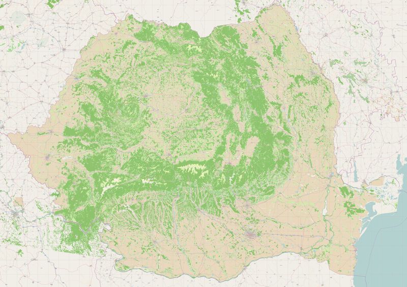
Corine Land Cover for Romania aftermath
Jump to navigation
Jump to search
The land cover import aftermath
The Corine land cover import for Romania finished on the 7th of December 2010.
However, a number of manual modifications and adjustments still have to be made. This page summarizes these modifications and current status. But before that, the table below summarizes the elements that have been imported.
...
The import progress in numbers is shown in the table and images below :
Manual corrections to be made
This section describes manual corrections needed on imported data, besides general inspection to ensure the imported data fits the real situation.
| Nr. crt | Action | Description | Status | Who's involved | Other |
|---|---|---|---|---|---|
| 1. | Fix tag nodes | Some 195.000 nodes have a useless tag "clc=yes". This should be removed. | 100% | stefanu | |
| 2. | Inspect water bodies | All water bodies have been imported using tags that make them not visible in renderings. These water bodies should be inspected and either deleted or make them replace the old ones if they fit better. | |||
| 3. | Fix source tags | Set to "European Environment Agency (EEA), CORINE Land Cover, 2006" / "Agenţia Europeană de Mediu, CORINE Land Cover, 2006". | In progress | stefanu | |
| 4. | Inspect industrial areas | CLC data makes no difference between commercial and industrial areas. Due to the larger number of industrial areas, they have all been tagged as such, but some must be retagged as commercial. Local mappers are welcomed to check based on their knowledge of the premises. |

