ES:Ejemplos de viales
Si conoces cuál es el estado actual de la cuestión, por favor, colabora manteniendo a la comunidad informada actualizando su contenido. (Discussion)
Normas generales:
- Solo si una ruta es suficientemente amplia para que un tractor pueda pasar, entonces se puede utilizar highway=track.
- If a tractor cannot pass the route then use the most fitting out of highway=path, highway=cycleway, highway=footway and highway=bridleway.
- A path restricted to pedestrians, cyclists or horse riders might be abbreviated by highway=cycleway, highway=footway or highway=bridleway
- OSM people create incredible maps -- even without to know what is a track and what a path.
You may compare this version with this one...
| Ejemplos | Descripciones y comentarios | Etiquetas | OSM-Map |
|---|---|---|---|
|
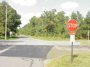
Here, a street is a designated bike route. (You can't see it very well, but the sign says “BIKE ROUTE” with an arrow pointing upwards.)
Note: in most countries a sign denoting that a stretch of road is part of a bicycle route would not make that piece of road "designated" for bicycle use. For tagging of bicycle routes see bicycle route tagging |
|
nn |
|
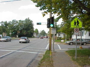
The crossing street does not allow trucks (Heavy goods vehicles) |
Cross-street: Through street: |
nn |
|
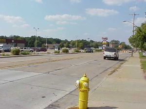
This is a 5-lane road, with a center “suicide lane”, where cars can be going in both directions while preparing to turn. | nn | |
|
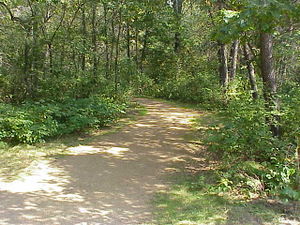
A gravel path enters the forest. Local knowledge indicates that it is a hiking and biking trail. | nn | |
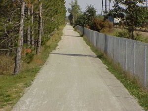
|
3m wide gravel path. Local knowledge [1] indicates that this is a shared-use path (“It is open to bicyclists, hikers, joggers and horseback riders in the spring, summer and fall and to snowmobilers, skiers and dog sledders during the winter...No ATV’s are allowed on the trail.”) | nn | |
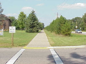
|
2.5m wide asphalt concrete path. It is signed “No motor vehicles,” and local knowledge [2] indicates that it is a shared use path (“...is a hiking and biking trail...”). | nn | |
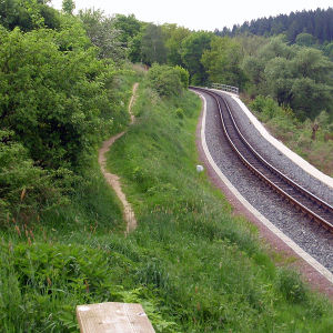
|
Panoramaweg cerca Malter dam entre Dippoldiswalde y Malter. For trained cyclists this path is like a street. |
|
50.915228 13.659126 |
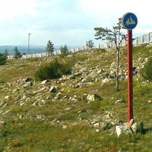
|
A path built and designated for snowmobile use. Foot traffic possibly "not permitted or unsuitable". | 67.789 24.856 | |
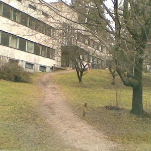
|
An urban path with no signs at all. Not really suitable for cycling but it's not forbidden, either. Area is public space so access not forbidden. Use on foot known to be possible and legal. | nn | |
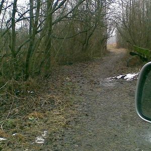
|
A path with no signs at all but too narrow for motorcars so it's not a highway=track but starts from the end of a track. Allowed and not totally unsuitable for cycling, but not known to be walkable. | 60.1608 24.7205 | |
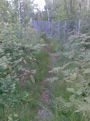
|
A path through an urban forest as in "there is something used for transport"; walking is possible on dry and non-winter days with a sure foot, but you wouldn't route anyone there. | nn | |
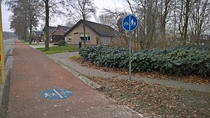
|
A path designated for pedestrians and cyclists equally. Possibly horse access is not allowed, depends on local law. |
or |
nn |
|
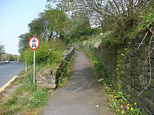
An urban path on which motorized vehicle access is forbidden. As above but no guarantees on passability. Likely without restrictions on horses. Access on foot and on a bicycle is known to be legal and possible. |
Implied by path, but specifically indicated so could be tagged anyway: or (outside Germany) |
nn |
|
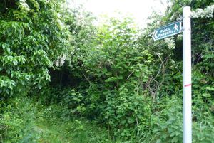
A Public Footpath under law in England & Wales. Foot traffic has legal right of way.
A footway has a different definition under UK law. |
nn | |
|
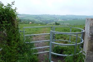
An unmarked footpath across UK country-side. Safe to assume public access (not right of way), verify with Survey Office |
|
nn |

|
A designated footway. |
or |
nn |
|
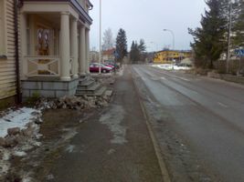
A sidewalk without signs (if drawn as a separate way) |
or |
nn |

|
A path on which only cycling is allowed. |
or |
nn |

|
A path on which motorized vehicles and horses are forbidden.
(In fact, the white background notice explains that law forbids horses on special leisure walking/excercise routes - that aren't signposted - which makes this "mainly for cyclists and pedestrians" and not an agricultural track.) |
or Implied by path, but it's explicitly signed so could be tagged: |
60.2361 25.1687 |
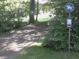
|
Bridleway |
or |
nn |
