File:GPS Satellite NASA art-iif.jpg
Jump to navigation
Jump to search


Size of this preview: 748 × 599 pixels. Other resolutions: 300 × 240 pixels | 599 × 480 pixels | 1,006 × 806 pixels.
Original file (1,006 × 806 pixels, file size: 111 KB, MIME type: image/jpeg)
File history
Click on a date/time to view the file as it appeared at that time.
| Date/Time | Thumbnail | Dimensions | User | Comment | |
|---|---|---|---|---|---|
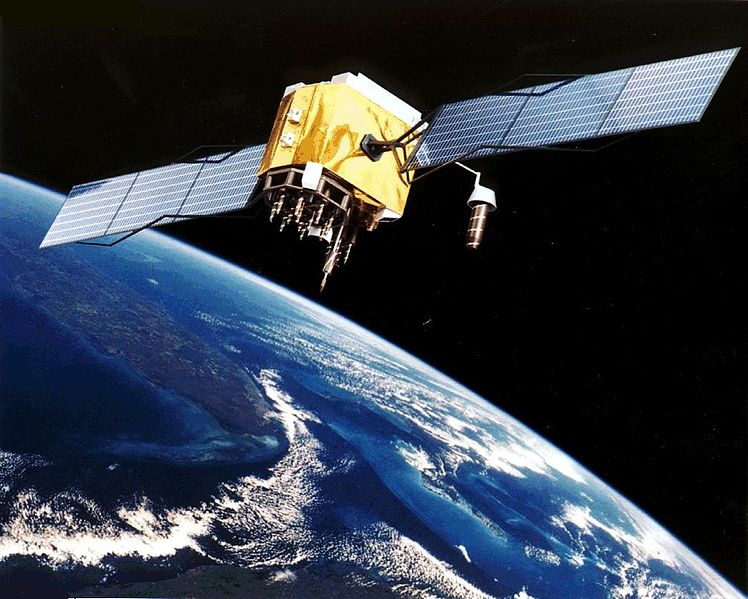
| current | 20:20, 9 February 2006 |  | 1,006 × 806 (111 KB) | wikimediacommons>Michaelfavor~commonswiki | Artist Interpretation of GPS satellite, image courtesy of NASA http://www.navcen.uscg.gov/ftp/gps/ggeninfo/gps-iif.tif |
File usage
The following 53 pages use this file:
- Fa:Accuracy of GPS data
- Fa:Convert GPS tracks
- Fa:Edit GPS tracks
- Fa:GNSS tracelog
- Fa:Recording GPS tracks
- Fa:Upload GPS tracks
- Ko:Convert GPS tracks
- Ko:GNSS tracelog
- Ko:GPS 트랙 레코딩
- Pl:Dokładność danych GPS Podstawy
- Pl:Edytowanie śladów GPS
- Pl:GNSS tracelog
- Pl:Przetwarzanie śladów GPS
- Pl:Rejestrowanie śladów GPS
- Pl:Załadowanie śladów GPS
- Uk:GNSS tracelog
- Uk:Завантаження GPS-треків
- Uk:Запис GPS-треків
- Uk:Конвертування GPS-треків
- Uk:Огляд GPS-пристроїв
- Uk:Редагування GPS-треків
- Uk:Точність даних GNSS
- User:Aseerel4c26/Sandbox
- DE:Convert GPS tracks
- DE:GNSS tracelog
- DE:GPS Tracks bearbeiten
- DE:Recording GPS tracks
- FR:Conversion des traces GPS
- FR:Enregistrement de traces GPS
- FR:GPS device reviews
- FR:Journaux traces GNSS
- ES:Convertir pistas GPS
- ES:Editar pistas GPS
- ES:Grabación de pistas GPS
- ES:Precisión de los datos GPS
- ES:Registro de trazas GNSS
- ES:Revisiones de dispositivos GPS
- ES:Subir pistas GPS
- IT:Convert GPS tracks
- IT:Edit GPS tracks
- IT:GNSS tracelog
- IT:Recording GPS tracks
- NL:Accuracy of GPS data
- NL:Convert GPS tracks
- NL:Edit GPS tracks
- NL:GNSS tracelog
- NL:GPS device reviews
- NL:Recording GPS tracks
- NL:Upload GPS tracks
- JA:GNSS軌跡ログ
- JA:GPSトラックの変換
- JA:GPSトラックの記録
- JA:GPS機器のレビュー


