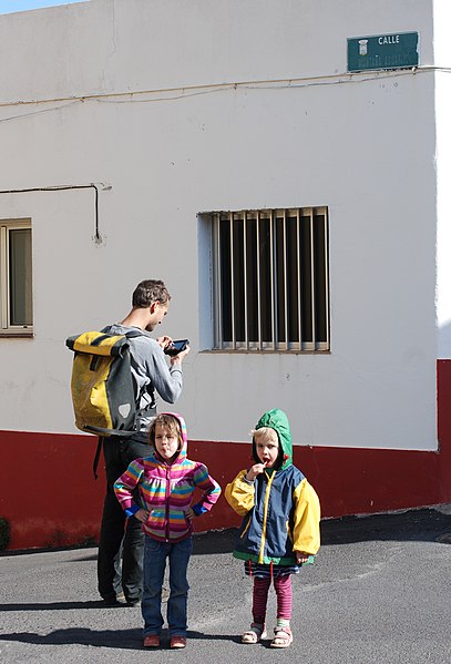
File:Openstreetmap mapping streets with family on el hierro island.jpg
Jump to navigation
Jump to search


Size of this preview: 407 × 599 pixels. Other resolutions: 163 × 240 pixels | 326 × 480 pixels | 522 × 768 pixels | 696 × 1,024 pixels | 1,944 × 2,860 pixels.
Original file (1,944 × 2,860 pixels, file size: 1.2 MB, MIME type: image/jpeg)
File history
Click on a date/time to view the file as it appeared at that time.
| Date/Time | Thumbnail | Dimensions | User | Comment | |
|---|---|---|---|---|---|
| current | 18:09, 31 January 2012 |  | 1,944 × 2,860 (1.2 MB) | wikimediacommons>Erik del Toro Streb | {{Information |Description ={{en|1=Mapping streets for Openstreetmap on a family getaway on El Hierro island.}} {{de|1=Straßen für Openstreetmap während eines Familienausflugs auf der Ins |
File usage
The following page uses this file: