File:World ocean map.gif

From OpenStreetMap Wiki
Jump to navigation Jump to search

World_ocean_map.gif(500 × 500 pixels, file size: 68 KB, MIME type: image/gif, looped, 4 frames, 10 s)

View on Wikimedia Commons
This file and its description are from Wikimedia Commons.

Summary

Description
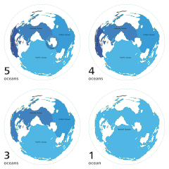
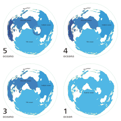
English: Animated map exhibiting the world's oceanic waters. A continuous body of water encircling Earth, the World Ocean is divided into a number of principal areas with relatively uninhibited interchange among them. Five oceanic divisions are usually defined: Pacific, Atlantic, Indian, Arctic, and Southern; the last two listed are sometimes consolidated into the first three.

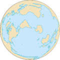
Animated world ocean map (GIF), exhibiting various oceans. Azimuthal distance projection map is based on world map from this online Java tool by Henry Bottomley and altered using CorelDraw/PhotoPaint, et al. Map is centered on 85° W, 45° S, rotated 90° CCW (North Pole is to the left). Ocean boundaries per International Hydrographic Organisation.

  • blue: ocean
  • black: other substantial bodies of water (viz. Caspian Sea, Great Lakes)
  • white: land
  • green dotted line: map periphery
Date
Source

Own work using:

Author User:Quizimodo
Permission
(Reusing this file)
Public domain I, the copyright holder of this work, release this work into the public domain. This applies worldwide.
In some countries this may not be legally possible; if so:
I grant anyone the right to use this work for any purpose, without any conditions, unless such conditions are required by law.
Other versions

Captions

Add a one-line explanation of what this file represents

Items portrayed in this file

depicts

8 October 2007

File history

Click on a date/time to view the file as it appeared at that time.

Date/TimeThumbnailDimensionsUserComment
current04:12, 8 April 2007Thumbnail for version as of 04:12, 8 April 2007500 × 500 (68 KB)wikimediacommons>Quizatz HaderachAnimated world ocean map!