Ijuí/Sistema Viário
From OpenStreetMap Wiki
Jump to navigation
Jump to search
RGI de Ijuí
Ijuí
| CTB
|
Classe municipal[1]
|
Classe no OSM
|
Fonte oficial[2]
|
| Arterial
|
Arterial
|
Secundária
|
PlanMob
|
| Coletora
|
Coletora
|
Terciária
|
PlanMob
|
- ↑ LCM 6929/2020 art. 194
- ↑ LM 5481/2011 anexo 1

Condor
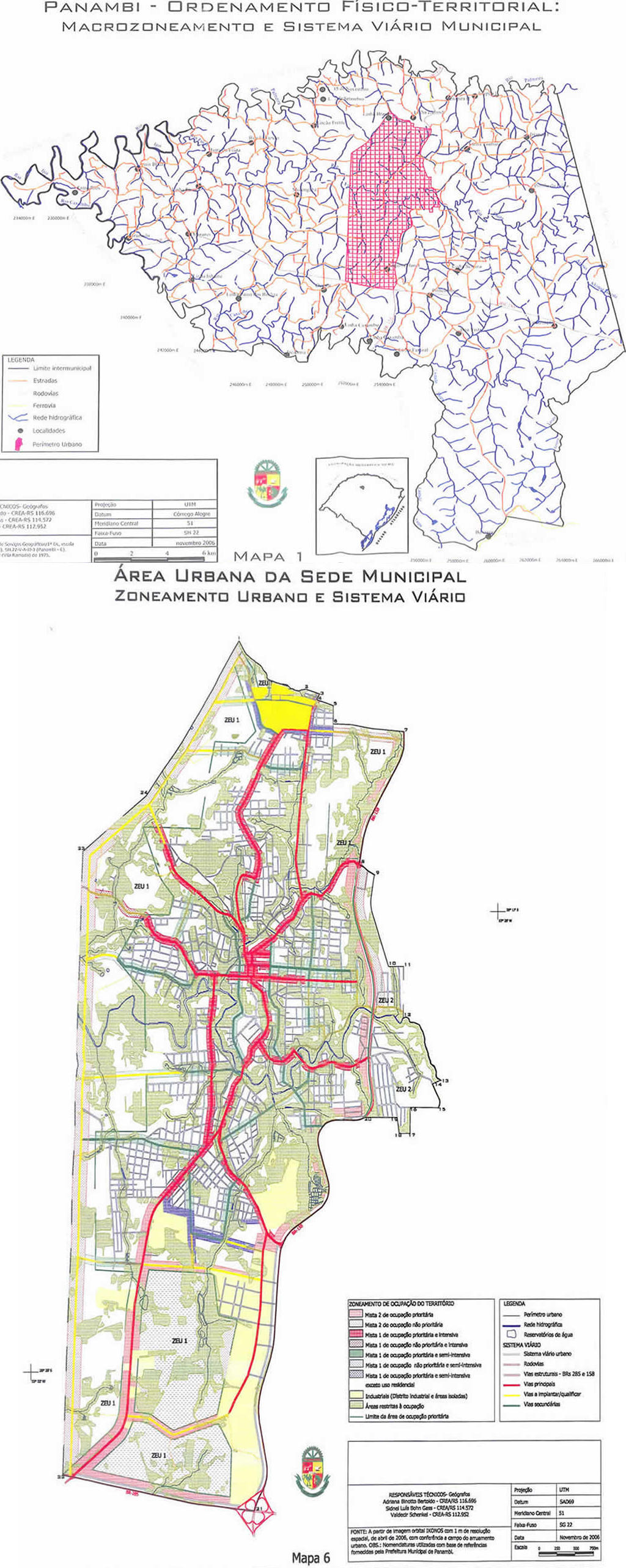
Panambi
| CTB
|
Classe municipal[1]
|
Classe no OSM
|
Fonte oficial[2]
|
| Arterial
|
Principal
|
Secundária
|
Plano diretor
|
| Coletora
|
Secundária
|
Terciária
|
Plano diretor
|
- ↑ LCM 8/2008 art. 126
- ↑ LCM 8/2008 mapas 1 e 6

Pejuçara
RGI de Cerro Largo
Cerro Largo
RGI de Santa Rosa
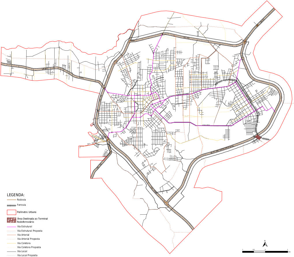
Santa Rosa
| CTB
|
Classe municipal[1]
|
Classe no OSM
|
Fonte oficial[2]
|
| Rodovia
|
Rodovia
|
Primária
|
Plano diretor
|
| Arterial
|
Estrutural
|
Secundária
|
Plano diretor
|
| Arterial
|
Secundária
|
Plano diretor
|
| Coletora
|
Coletora
|
Terciária
|
Plano diretor
|
- ↑ LCM 118/2017 art. 136
- ↑ LCM 118/2017 mapa 10

RGI de Santo Ângelo
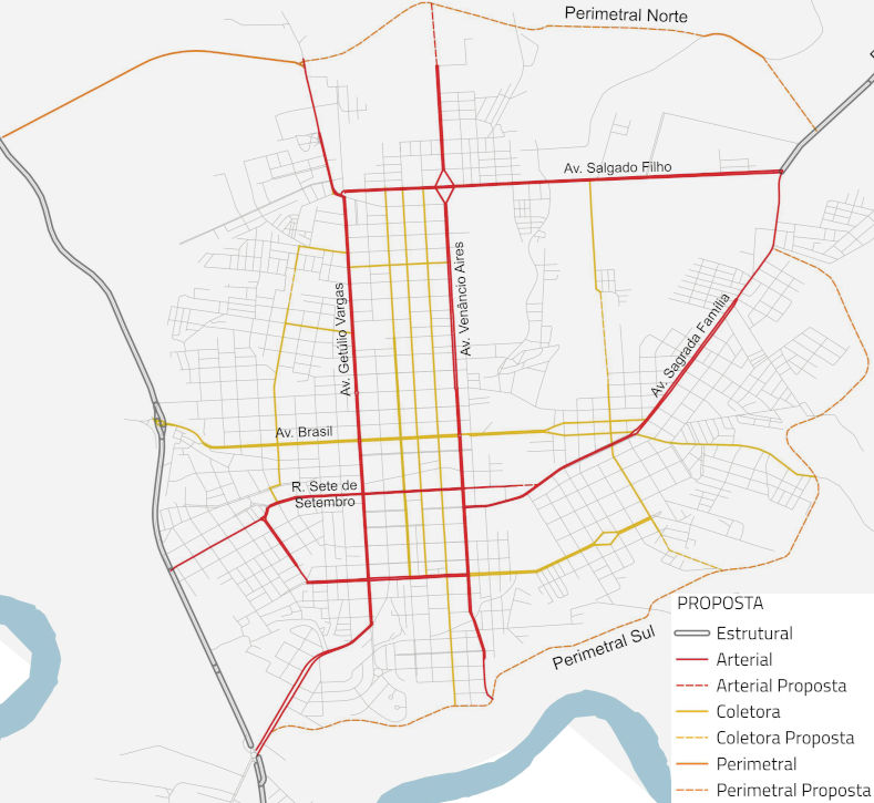
Santo Ângelo
| CTB
|
Classe municipal[1]
|
Classe no OSM
|
Fonte oficial[2]
|
| Arterial
|
Estrutural
|
Secundária
|
PlanMob
|
| Perimetral
|
Secundária
|
PlanMob
|
| Arterial
|
Secundária
|
PlanMob
|
| Coletora
|
Coletora
|
Terciária
|
PlanMob
|
- ↑ LM 4106/2016 arts. 11 e 12
- ↑ LM 4106/2016 anexo 1

Giruá
São Miguel das Missões
RGI de São Luiz Gonzaga
São Luiz Gonzaga
RGI de Três de Maio
Três de Maio
RGI de Três Passos
Três Passos
Humaitá


