JA:道路のタグ付け例/郊外部
Jump to navigation
Jump to search
このページは削除するか、リダイレクトで置き換えるよう提案されています。 (議論)
理由(英語):see the thread on the forum for details and discussion --Nakaner (talk) 16:23, 7 November 2024 (UTC)。
理由(英語):see the thread on the forum for details and discussion --Nakaner (talk) 16:23, 7 November 2024 (UTC)。
この記事は翻訳記事ですが、翻訳が不完全であり、抜けや誤り、未翻訳の部分があります。
英語版の記事の内容が分かる方は、翻訳の完成にご協力ください。このウィキの翻訳方法についての説明をお読みください。
現時点では、誰もこの記事の翻訳に取り組んでいないようですので、あなたが取り組めます。
英語版の記事の内容が分かる方は、翻訳の完成にご協力ください。このウィキの翻訳方法についての説明をお読みください。
現時点では、誰もこの記事の翻訳に取り組んでいないようですので、あなたが取り組めます。
このページでは、実際の通りの例と、その正しいタグ付け方法を示します。初心者の参考になるでしょう。もちろん、この方法の通りに正確にタグ付けする必要はありません。
しかし、正しく道路を分類するために、編集の標準と慣例に従い、 highway タグの使い方を参照してタグ付けしてください。後者については、国によって別なページが存在するかもしれません。
| 写真 | 説明/注釈 | タグ | Mapnik/OSM-Carto |
|---|---|---|---|

|
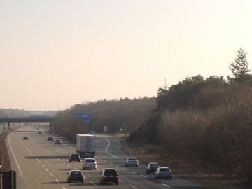
Motorway with 4 lanes and separation | ||
|
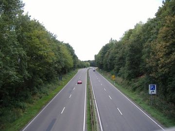
Motorway link with 2 lanes (the smaller road on the right) | ||
|
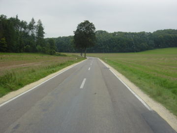
Trunk with 2 lanes and separation | ||
|
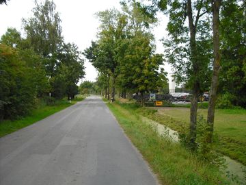
Secondary road | ||
|
Smaller road, maybe tertiary with appropriate administrative status | ||
|
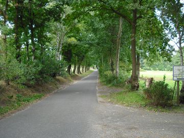
Smaller road without administrative status |
|
|
|
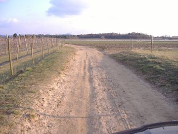
Track, built and used by/for farmers, compact sand | ||
|
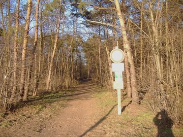
Footway in a forest, with allowance for bicycles | ||
|
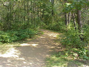
A gravel path enters the forest. Local knowledge indicates that it is a hiking and biking trail. | ||
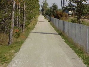
|
3m wide gravel path. Local knowledge [1] indicates that this is a shared-use path (“It is open to bicyclists, hikers, joggers and horseback riders in the spring, summer and fall and to snowmobilers, skiers and dog sledders during the winter...No ATV’s are allowed on the trail.”) | ||
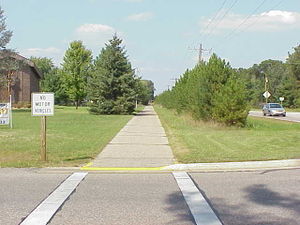
|
2.5m wide asphalt concrete path. It is signed “No motor vehicles,” and local knowledge [2] indicates that it is a shared use path (“...is a hiking and biking trail...”). | ||
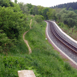
|
Panoramaweg near Malter dam between Dippoldiswalde and Malter. For trained cyclists this path is like a street. | 50.915228 13.659126 | |
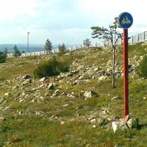
|
A path built and designated for snowmobile use. Legality for foot and bicycles unknown. | 67.789 24.856 | |
|
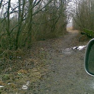
A path with no signs at all but too narrow for motorcars so it's not a highway=track but starts from the end of a track. Allowed and not totally unsuitable for cycling, but not known to be walkable. | 60.1608 24.7205 | |
|
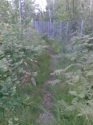
A path through an urban forest as in "there is something used for transport"; walking is possible on dry and non-winter days with a sure foot, but you wouldn't route anyone there. | ||

|
A path on which only cycling is allowed. |
or |
|

|
A path on which motorized vehicles and horses are forbidden.
(In fact, the white background notice explains that law forbids horses on special leisure walking/excercise routes - that aren't signposted - which makes this "mainly for cyclists and pedestrians" and not an agricultural track.) |
60.2361 25.1687 | |
|
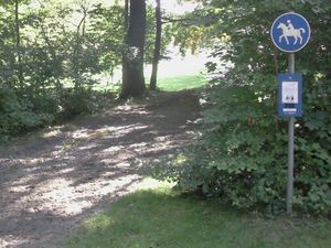
Bridleway |
or |