Key:living_street
| Description |
|---|
| Used to mark that pedestrians are superior to vehicles as defined in road rules |
| Group: highways |
| Used on these elements |
| Requires |
|
| Implies |
| Useful combination |
| See also |
| Status: in use |
| Tools for this tag |
|
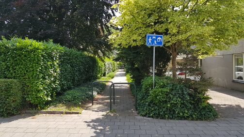
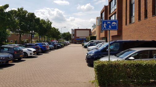
The tag living_street=yes is used to mark highways where pedestrians are superior to vehicles as defined in traffic rules. It was based on a proposal from 2009, after the more common tag highway=living_street had been approved. living_street=yes can also be used to mark highways that have a legal "living street" status.
The original concept of a "living street" (known as "woonerf" in Dutch) refers to an area that includes streets, pathways, and various road types. The term "living street" can be used to describe both the legal status of an area(living_street=yes) and a specific street design(highway=living_street).
When an area is designated as a living street, it applies to the entire designated area, including footways, (public) service roads, cycleways, and residential roads. In other words, any type of highway within that area can be considered part of the living street.
To maintain consistency and avoid confusion, it is recommended to use the highway=living_street tag to describe the residential streets inside the living street area, instead of using living_street=yes + highway=residential. Since highway=living_street already implies living_street=yes. For all other types of highways, the living_street=yes tag can be used.
It's worth noting that some mappers mistakenly believe that only streets can be designated as living streets because of the term's association with the word "street" However, a more accurate translation would be "living area" or "residential grounds".
It is mainly used in Russia, Belarus and Germany with highway=service. Sometimes it is used with highway=residential, in which case it is a synonym for highway=living_street.


