Known INEGI Data Issues
Jump to navigation
Jump to search
The following is a list of known data issues
Known issues
- CVU and IVLA datasets are not a true road network. There are dangling ends (definition?) and long edges that need to be split at intersections with other edges.
- See detailed analysis here: http://spaces.telenav.com:8080/display/TNOSM/Correction+of+INEGI+Roadnet
- CVU and IVLA datasets are riddled with overlapping edges. IVLA and CVU datasets have approximately 20,903 and 1,199 cases of two edges overlapping, respectively.
- Many of these edges have different road attributes (name, road type, etc)
i. Some could have totally different attributes
ii. Some could have the same name but different road type
- There are some edges that are overlapped by more than 1 edge.
- See detailed analysis here: http://spaces.telenav.com:8080/display/TNOSM/Investigation+with+Overlapping+Topology+Issues+with+INEGI+Data
- CVU and IVLA geometries sometimes do not reflect reality.
- Example: Roundabout in reality, but intersection is highly generalized (“+” intersection)
- Example: Divided/dual-carriageway road in reality, but road is digitized as single-carriageway
- All three INEGI datasets have been released at different times. Sometimes you would find roads in the IVLA dataset that are not in the CVU dataset, and vice-versa.
ALL IVLA and CVU cases to visualize in JOSM can be found on the following directory:
All test cases can be found here:
Cases
| IVLA Overlap Cases | |||||||||||||||||||||
|---|---|---|---|---|---|---|---|---|---|---|---|---|---|---|---|---|---|---|---|---|---|
| Main Link | Overlapping Links | Comments | Case PBF | ||||||||||||||||||
| gid = 503142 | Main Link: 
|
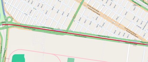
Long segment overlapped by smaller segments. Which to choose? | http://pbf-server.mypna.com/non-osm/inegi/entire_country_overlapping_cases/ivla_main_gid_503142.osm.pbf | ||||||||||||||||||
| gid = 1608909 | 
|
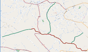
Different road ways overlapping one roadway. Very confusing. What to choose? | http://pbf-server.mypna.com/non-osm/inegi/entire_country_overlapping_cases/ivla_main_gid_1608909.osm.pbf | ||||||||||||||||||
| gid = 475614 | 
|
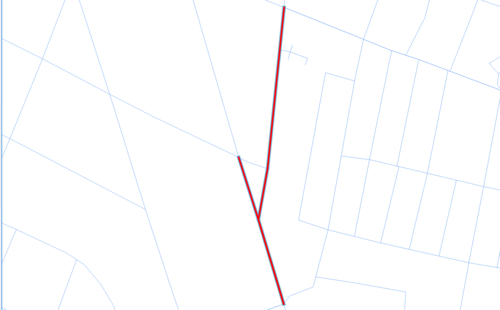
Overlapping edges. What to do? | |||||||||||||||||||
| gid = 1241221 | 
|
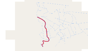
Two overlapping li | |||||||||||||||||||


