Mapgenerator
Jump to navigation
Jump to search
This article or section may contain out-of-date information. The information may no longer be correct, or may no longer have relevance.
If you know about the current state of affairs, please help keep everyone informed by updating this information. (Discussion)
If you know about the current state of affairs, please help keep everyone informed by updating this information. (Discussion)
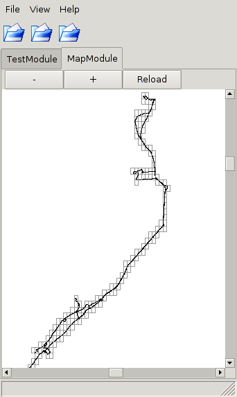
Mapgeneration [1] is a tool which is able to trace data from NMEA output. The different traces can be merged together in an automatic way. No hand drawing is required.
Example
cat trace.nmea | nc localhost 9000 -q 0
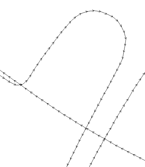
This command sends trace.nmea to the mapgenerator traceserver. If the nmea trace is within specified parameters in the configuration, the road will be extended in the driving direction. A reload button on the gui-client allows a user to update his trace. The gui called mgg makes a connection to the server showing only a line with arrows. No fancy maps as backgrounds, like josm, plain and simple but viewing only.

