Maverick
Jump to navigation
Jump to search
It has been proposed that this page be deleted or replaced by a redirect. See the discussion page for further information.
The given reason is: The app had no outstanding features and cannot be installed any more. --Nakaner (talk) 09:29, 9 October 2024 (UTC).
The given reason is: The app had no outstanding features and cannot be installed any more. --Nakaner (talk) 09:29, 9 October 2024 (UTC).
| Maverick | |
|---|---|
| Author: | Ulrich Grothaus |
| License: | Proprietary (free, pd version available) |
| Platform: | Android |
| Status: | Broken |
| Version: | 2.8 (2017-02-15) |
| Language: | English |
| Website: | |
|
Geocaching support, POI Radar | |
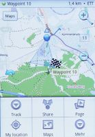
Maverick is a fully OSM based off-road navigation solution for Android devices.
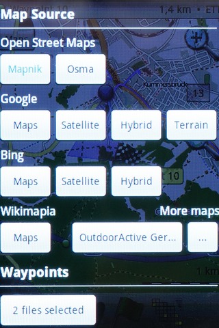
- Open Street Maps (Mapnik , Osmarender, Cyclemap, Public Transport)
- other maps: Google, Bing, outdooractive (Germany, Austria,South Tyrol) Nokia Maps, Cycloatlas (CZ, SK), Near Map Australia
- offline use: maps are automatically cached for offline use. However, Google requested Maverick that its maps are no longer cached.
- with the freeware Mobile Atlas Creator it is possible to convert maps from other formats (outdorractive, hubermedia,...) and use them offline
- complete POI handling with database, including 1 photo, and navigating to POI (no routing)
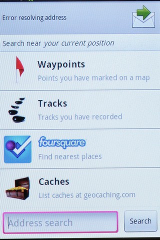
- searching online for POIs in a database in the web foursquare
- Geocaching feature: pocket queries on geocaching.com
- Share position online
- Build-in radar shows the direction, distance and estimated time to a point of interest
- Record tracks, export/import tracks
- Upload tracks to GPSies.com
- Trip Computer: speed, altitude, pitch


