Mexico Locality
Every place occupied by one or more dwellings, which may be inhabited or not; this place is known by a given name (hence the usual term 'named place') given by law or custom. According to its characteristics and with statistical purposes, localities are classified into urban and rural.
Urban locality
Are those having a population greater than or equal to 2,500 inhabitants or that are municipal seats regardless of the number of inhabitants, according to the 2nd Census of Population and Housing 2005.

Rural locality
Are those with a population less than 2,500 inhabitants and are not municipal seats, according to the 2nd Census of Population and Housing 2005.
Each urban or rural locality is encoded with a four digit code assigned in ascending order by municipality starting from 0001 until it covers the total localities of each of the municipalities of the country, the code 0001 usually corresponds to the municipal seat.
Example:
0001 Aguascalientes
0094 Granja Adelita
0096 Agua Azul
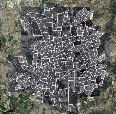
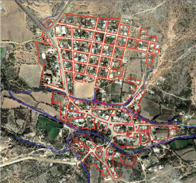
All urban and rural localities are included in the National Geostatistical Framework, urban localities are represented as polygons, while rural can be represented either with a polygon or a point. Those represented with a polygon have a separate map, whether they are urban or rural with 100 or more inhabitants.
<IMAGE PLACEHOLDER>
