Montana
| V・T・E |
| latitude: 47.5, longitude: -110 |
| Browse map of Montana 47°30′00.00″ N, 110°00′00.00″ W |
| Edit map |

|
|
| External links: |
| Use this template for your locality |
Montana is a state in United States, North America at latitude 47°30′00.00″ North, longitude 110°00′00.00″ West.
Montana map status
Most of the existing map data for Montana appears to be from some import of external databases. Unfortunately most of these imports had some serious issues.
TIGER import
Most of the currently mapped roads, rails and powerlines are from the TIGER import that was done for most of the US. Please see the TIGER fixup page for a description of problems with this data and how to fix them.
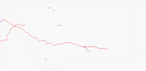
For the current mapping state of the Montana highway network please use the Montana Highways page, for the rail network the Montana Railroads page.
USGS GNIS import
Most Points of Interest currently in the database come from an import of USGS GNIS data. The main problems with this data are:
- The GNIS database contains the location of many former points of interest that don't exist anymore. These are marked with "(historic)" attached to the name and unfortunately these where imported as if they where still existing facilities. So the map is cluttered with schools, hospitals and other stuff that isn't there on the ground. If you come across a "(historic)" feature on the map, please remove it.
- The GNIS data consists only of single nodes, even if they describe an area like e.g. a lake or a cemetery. If you see such a node, please consider tracing the featured area from e.g. aerial imagery and move all gnis:* tags from the GNIS node to the area before deleting the node.
- The location of these imported POIs is often not very precise.
Water bodies
While many water bodies are still missing completely from OSM in Montana, some have been traced manually and some have been imported from the National Hydrography Dataset. Some of the imported ones are quite low resolution and the position doesn't match aerial imagery for the area. Maybe these were just botched imports or maybe this is a general problem; I haven't seen enough data to know. Where roads/rails and waterways intersect, the map data is quite incomplete at the moment: Many bridges, fords and ferries are not mapped (yet) and the bridges that ARE mapped often don't have a "layer" tag.
For detailed mapping status please see Montana Waterways page.
Road classification
- Main article: Montana/Highway classification
Borders
State, County and City borders have been imported from various sources. The result is a lot of border lines that mostly (but not always) agree with each other from both sides of a border and a lot of duplicate nodes. Ideally borders would have only a single way at each place where different administrative units meet and that way would then be added to border relations for both sides.
Power Network
- Power lines in Montana
Source: Map

