OsmSharp/Demos/DrivingRange
< OsmSharp
Jump to navigation
Jump to search
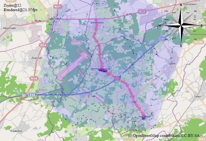
The OsmSharp library contains a demo project illustrating a simple way to calculate the range of a vehicle given a driving range. The project can be downloaded from sourceforge svn: [1].
A polygon is calculated representing the range the vehicle can still travel. This can be used to find gas stations or loading points for electric cars that are still inside the current driving range. A blog post about this: [2].
