PTGMAP
If you know about the current state of affairs, please help keep everyone informed by updating this information. (Discussion)
| PTGMAP | |
|---|---|
| License: | Free? |
| Platform: | Windows Mobile 5 |
| Status: | Broken |
| Version: | 1.2.9 (2010-11-16) |
| Language: | English |
| Website: | http://www.imocoding.com |
Introduction
PTGMAP is an GPS application for the Windows Mobile PDA/Pocket PC designed for GPS navigation with garmin and polish format vector maps on Pocket PC devices equipped with GPS receiver. It can also be used for editing map objects such as points, polygons, polylines, address items, waypoints, tracks, routes and others.
- Auto Moving / Rotating Map
- Map Format: Garmin images (img) / raster image (png,jpg,gif,bmp)
- Streets and POIs Finder
- Creating and Editing Waypoints and Routes
- Tracks Recording
- Saving Tracks, Waypoints, Routes in *.gpx, *.gdb and *.mps Format
- Creating and Editing Map Objects and AutoRouting Data
- Calibrating Raster Images
- Saving Maps in Polish and OziExplorer Format
- Convenient File Browser
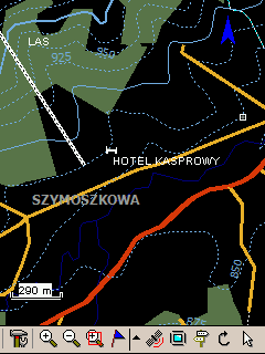
- Night View
For OSM tracking this featares are really helpful:
- You can define Hardware Buttons to create a waypoint at the current position.
Licence
The program is shareware. Map developers (especially garmin format maps) who provide their maps freely on a webpage with free access can obtain the unlock code for FREE (Please give the developer a hint where to look up your maps).
To get the unlock code it is necessary to email the ID number (as it appears on the "About" screen inside the application) to info@imocoding.com.
Screenshots
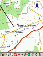
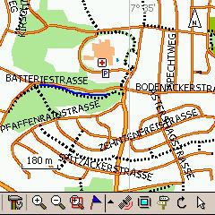
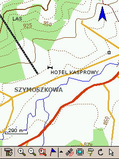
OpenStreetMaps in Garmin Format (.img):
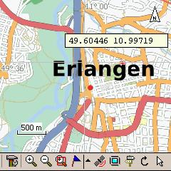
OpenStreetMaps Tiles as raster images in the .png format:
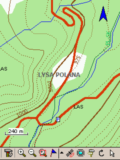
Garmin maps:
Wish List
Please go to Discussion page
Get the OSM map
Garmin IMG Format
By using Mkgmap or OSM_Composer you can create an .img file and load it to PTGMAP.
Tiles
- Use the Taho.pl script to generate calibrated tiles to use in PTGMAP.
- For Windows users the faster way would be to use the taho.exe.
- Copy the .map and the .png files to your device and open the .map file.
Both tools you can finde here: Taho
Add raster map
Use the included calibration or the Mapexplore
OziExplorer format description
Get the tracks
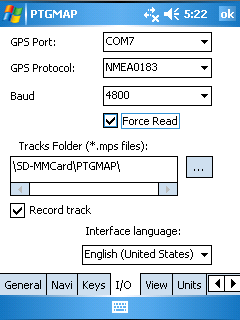
Providing that "Record track" option is enabled, tracks are written in .mps format to location which is defined in Menu->Options->I/O tab, to the end of that path folder "Tracks" is added. Tracks, waypoints and routes can also be saved manually in .gpx or .gdb format by selecting Menu->File->Save W/T/R.
PTGMAP in action
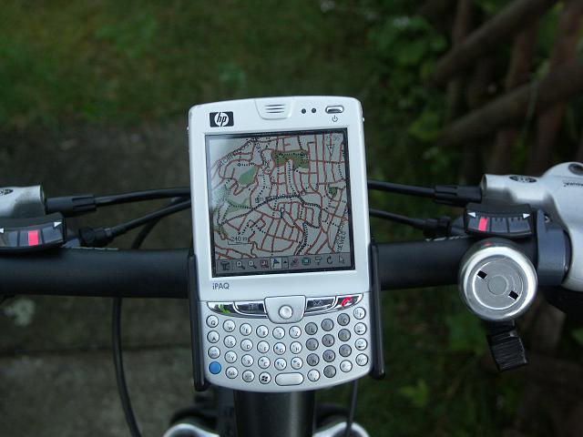
Here you see the ptgmap in action on a bike ready for mapping.
