PhilAWARE Data Model
This page documents the tagging guidelines for the HOT-Philippines' PhilAWARE Project. The data model was originally based on HOT Indonesia work related to InAWARE but was further modified based on the local context in the Philippines. This was also discussed and consulted with the local OSM Philippines community.
Critical Facilities
There are 13 types of critical facilities that are priority for the PDC-PhilAWARE Project:
- Evacuation Centers
- Institutions
- Medical Facilities
- Social Services Facilities
- Protective Services
- Government Establishment
- Banks
- Food Mart and Supplies
- Sports and Recreation Facilities
- Water Supply Systems
- Power Systems
- Fuel Storage
- Transportation
- COVID-19 Facilities
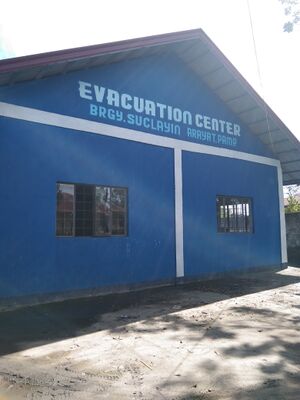
1. Evacuation Centers
| No. | Object Name | Object Type | Description | Key | Value | Sample Picture |
|---|---|---|---|---|---|---|
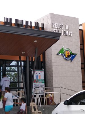
| 1. | Exclusive Evacuation Centers | For buildings/spaces that are officially designated as evacuation centers | social_facility; | shelter; | ||
| 2. | Secondary Evacuation Centers | For amenity/social facility that has been designated as an evacuation center for displaced persons | emergency:amenity;
emergency:social_facility; emergency:social_facility:for emergency:hazard_type |
social facility;
shelter; displaced; earthquake, landslide, flood, tsunami, multi, debris_flow, lava_flow, armed_conflict |
||
| 3. | Temporary Evacuation Centers | For buildings/spaces that are used as ad hoc evacuation centers | evacuation_center;
emergency:hazard_type |
yes;
earthquake, landslide, flood, tsunami, multi, debris_flow, lava_flow, armed_conflict |
||
| 4. | Operation Units | Ran by local offices such as local Department of Risk Reduction office, civic organizations, or non-government organizations | amenity | rescue_station |
2. Institutions
| No. | Object Name | Object Type | Description | Key | Value | Sample Picture |
|---|---|---|---|---|---|---|
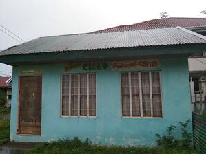
| 1. | Day Care Center | Also called nursery/nursery school. An institution that provides supervision and care for young children. | amenity; | childcare;
0 |
||
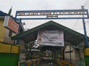
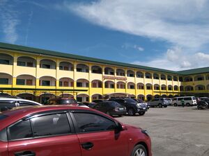
| 2. | School | Elementary School | amenity; | school | ||
| 3. | College | More specialized education | amenity | college | ||
| 4. | University | More specialized education | amenity | university | ||
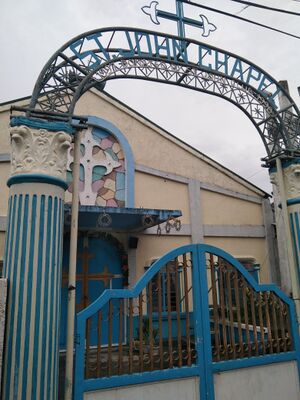
| 5. | Place of Worship | All places of worship, independently of the religion or denomination | amenity; | place_of_worship |
3. Medical Facilities
| No. | Object Name | Object Type | Description | Key | Value | Sample Picture |
|---|---|---|---|---|---|---|
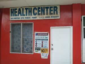
| 1. | Clinic | A medium-sized medical facility or health centre. | amenity | clinic | ||
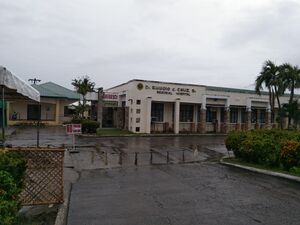
| 2. | Hospital | Institutions for health care providing treatment by specialised staff and equipment, and typically providing nursing care for longer-term patient stays. | amenity | hospital | ||
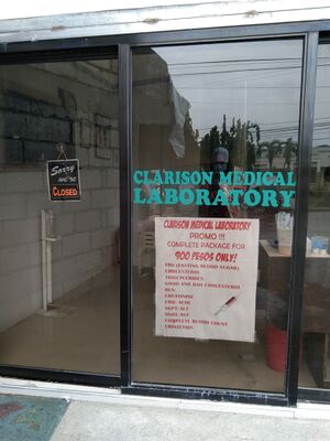
| 3. | Laboratory | A place which performs analysis and diagnostics (physicochemical, biochemical, hematologic, immunological, microscopic, bacteriological, etc.) on body fluids such as blood, urine and faeces. | amenity | laboratory | ||
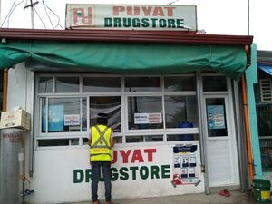
| 4. | Pharmacy | A shop where a pharmacist sells medications. | amenity | pharmacy | ||
| 5. | Veterinary | A place where a veterinary surgeon, also known as a veterinarian or vet, practices. This can range from a small office to a large animal hospital. | amenity | veterinary |
4. Social Services Facilities
| No. | Object Name | Object Type | Description | Key | Value | Sample Picture |
|---|---|---|---|---|---|---|
| 1. | Woman | Spaces/facilities related to woman/women. E.g. VAWC Centers and Desks | social_facility:for | woman | ||
| 2. | Child | Spaces/facilities related to child/children .E.g., daycare center for children | social_facility:for | child | ||
| 3. | Diseased | Those who suffer a certain disease and their families, name disease in description tag (e.g. AIDS) | social_facility:for | diseased | ||
| 4. | Displaced | For persons temporarily displaced by natural calamities (e.g. floods, typhoons, earthquakes), and or armed conflicts. | social_facility:for | displaced | ||
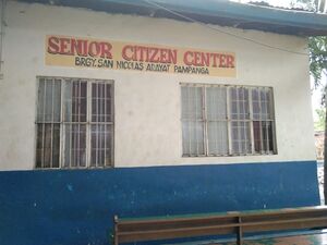
| 5. | Senior | Elder, older, pensioner; e.g., retirement home | social_facility:for | senior | ||
| 6. | Orphan | E.g., orphanage | social_facility:for | orphan | ||
| 7. | Homeless | Have a look at the Homeless_Shelter-proposals for tags that capture more details | social_facility:for | homeless | ||
| 8. | Juvenile | E.g., juvenile shelter | social_facility:for | juvenile | ||
| 9. | Disabled | Those with physical disabilities | social_facility:for | disabled | ||
| 10. | Drug Addicted | E.g., drug-counseling service, name drug (if certain) in description tag | social_facility:for | drug_addicted | ||
| 11. | Overseas Filipino Workers | For Overseas Filipino Workers (OFW) | social_facility:for | overseas_fil_worker |
5. Protective Services
| No. | Object Name | Object Type | Description | Key | Value | Sample Picture |
|---|---|---|---|---|---|---|
| 1. | Police Station | A station from which the police operates. | amenity | police | ||
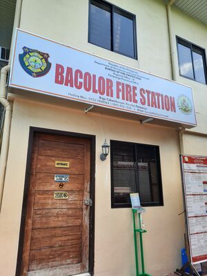
| 2. | Fire Station | A station from which the fire brigade operates. | amenity | fire_station |
6. Government Establishment
| No. | Object Name | Object Type | Description | Key | Value | Sample Picture |
|---|---|---|---|---|---|---|
| 1. | Local Government Offices | Used to tag government offices of a (supra)national, regional or local government office. |
4 (province), 6 (city/municipality), 10 (barangay); city, town, village |
|||
| 2. | Government (Department) Office | Used to tag government or department offices | government;
government_office |
|||
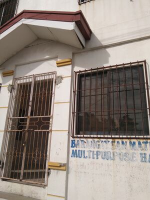
| 3. | Government or Public Buildings | Used to tag buildings owned by the government | building | public |
7. Bank
| No. | Object Name | Object Type | Description | Key | Value | Sample Picture |
|---|---|---|---|---|---|---|
| 1. | Bank | A place that provides financial services for people, such as money deposit, money saving and credit for financial services. | amenity; atm;
cash_in |
bank;
yes/no yes/no
|
8. Food Mart and Supplies
| No. | Object Name | Object Type | Description | Key | Value | Sample Picture |
|---|---|---|---|---|---|---|
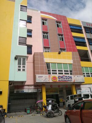
| 1. | Supermarket | A large shop for groceries and other goods. | shop | supermarket | ||
| 2. | Traditional Marketplace | Sells fresh meat or fish, along with vegetables and/or fruits | amenity | marketplace |
9. Sport and Recreation Facilities
| No. | Object Name | Object Type | Description | Key | Value | Sample Picture |
|---|---|---|---|---|---|---|
| 1. | Sports Center | Area designed for playing a particular sport, normally designated with appropriate markings. | leisure | sports_centre |
10. Water Supply Systems
| No. | Object Name | Object Type | Description | Key | Value | Sample Picture |
|---|---|---|---|---|---|---|
| 1. | Water tower | Is a structure which contains a water tank at an altitude. Water is pumped up to increase pressure in the network. | man_made | water_tower | ||
| 2. | Pumping station | Is used to map a pumping station: a facility including pumps and equipment for pumping fluids from one place to another. | man_made | pumping_station |
11. Power Systems
| No. | Object Name | Object Type | Description | Key | Value | Sample Picture |
|---|---|---|---|---|---|---|
| 1. | Power house | Generators often form part of a power plant. | power; | generator;
yes; solar, wind, diesel, hydro, geothermal, coal, gas, oil, biomass, generator, gasoline, nuclear, natural_gas, biofuel |
||
| 2. | Electrical substation | A facility which controls the flow of electricity in a power network with transformers, switchgear or compensators. | power; | substation; | ||
| 3. | Power plant | A power station (601-03-01, also referred to as a generating station, power plant, or powerhouse) is an industrial facility for the generation of energy (electricity, useful heat...). | power | plant |
12. Fuel Storage
| No. | Object Name | Object Type | Description | Key | Value | Sample Picture |
|---|---|---|---|---|---|---|
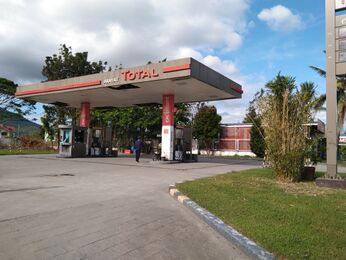
| 1. | Gas Station | Petrol station; gas station; marine fuel; … | amenity | fuel |
13. Transportation
| No. | Object Name | Object Type | Description | Key | Value | Sample Picture |
|---|---|---|---|---|---|---|
| 1. | Expressway | Controlled or limited-access highways, including most of the expressway network. | highway; | motorway;
<number of layer>; <number of width in meters>; <number of lanes>; asphalt, concrete, metal, wood, grass, ground, gravel, mud, sand, paving_stones; no; no; yes, no; yes
|
||
| 2. | National and local roads | National and local (provincial, municipal, and barangay, and minor) roads | highway | trunk;
primary; secondary; tertiary; unclassified, residential, track, service, pedestrian, path
|
||
| 3. | Railway | Path / way for train | railway; | light_rail;
<number of layers>; Light Rail Transit, Metro Rail Transit, Philippine National Railway Metro Commuter Line; yes, no |
||
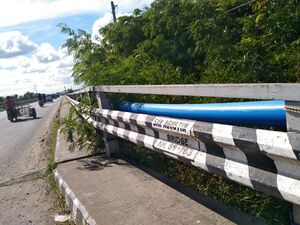
| 4. | Bridges | The roadway is carried over a bridge. | bridge | yes | ||
| 5. | Tunnels | Is used for roads, railway line, canals etc that run in a tunnel. | tunnel | yes |
14. COVID-19 Facility
Required Key and Value for Any Building Objects for Critical Facilities
| No. | Information | Key | Value | Description |
|---|---|---|---|---|
| 1. | Building Type | building | User Defined meaning that the value is determined by the user in accordance with the information of the building. | Type of building |
| 2. | Building levels | building:levels | User Defined meaning that the value is determined by the user in accordance with the information of the building. | Number of floors in the structure |
| 3. | Building material | building:material | concrete, brick, masonry, bamboo, plaster, cement_block, wood, glass_reinforced_plastic, glass, CI_sheet, steel, aluminum, mixed | Determined by what building material that the building has |
| 4. | Street Address | addr:street | <name of street> | Street name of where the facility is |
| 5. | City/municipality Address | addr:town or addr:city | <name of town/city/municipality> | Town/municipality name of where the facility is |
| 5. | Building's Name | name | User Defined meaning that the value is determined by the user in accordance with the information of the building. | Name of the building |
| 6. | Floor material | floor:material | ground, wood, cement, ceramics, concrete | Determined by what floor material that the building has |
| 7. | Roof material | roof:material | concrete, roof_tiles, metal, steel, eternit, no_roof, thatch, tile, wood, asbestos | Determined by what roof material that the building has |
| 8. | Capacity | capacity:persons | <50, 50-100, 100-250, 250-500, >500 | Indicates how many persons a building or structure can accommodate |
| 9. | Backup generator | backup_generator | yes, no | If the facility has a backup generator |
| 10. | Water source | water_source | water_works, manual_pump, powered_pump | Water source |
| 11. | Source | source | survey | Type of source |
| 12. | Survey name | survey:name | PDC PhilAWARE | Name of survey |
| 13. | Survey date | survey:date | <date of survey> | Date of survey |
