Project of the week/2010/Nov 17
What is Project HotSpot?
The goal/purpose of Project HotSpot is to get major U.S landmarks mapped out to a level of detail beyond normal commercial map data providers. We're starting with a top 10 list of places asked for by the commercial MapQuest.com website.
If we can get these ten places looking very spiffy, then MapQuest will feature the OSM maps of these places as "Premium Maps" of these locations when they are returned as Search Results for our approximate 50 million monthly unique visitors to MapQuest.com
Why are we doing this?
Well.. Ok. As head of MapQuest Open, I made a bet with the head of MapQuest.com that OpenStreetMap can produce more detailed, more accurate, and more helpful maps of key tourist locations than commercial data vendors.
If we succeed, MapQuest.com must feature these locations using OSM data. And the head of MapQuest.com must buy me a drink. And I will personally buy a drink for everyone who helps, that turns up to SOTM 2011.
To be serious for a second - MapQuest Open is tasked with improving the OSM data for the US. I firmly believe that the correct way to do this is to grow and engage the OSM community. If we can get these top 10 places mapped to a really good level of detail, then it helps justify to MapQuest/AOL that I'm right, and we can do this, and USA OSM data is worth continuing to invest in, and we get to continue doing things like contributing to Mapnik and Nominatim and Potlatch 2, and making free directions services and stylesheets, and all the other things we are working on.
So, in short: If you feel that we at MapQuest are helping add to OSM in a positive way... please please help us out on this project, so we can justify our investment to those who peer at me with beady eyes over the top of spreadsheets.
How you can can help
- EDIT, MAP, AND IMPROVE THESE PLACES!
- Edits that are good to have:
- Correct road tagging (one way streets, exit ramps, etc)
- Points of Interest - restrooms, restaurants, shops, rides, view points, cotton candy vendor, etc
- Street addressing - spelling out 'Street' rather than 'St' and be sure to add in all the house numbers that are available!
- Surrounding neighborhood is good too - maybe there's a 'best parking lot' or better entrance to get to some of these places.
- Help flesh out this page, and pages for these locations, and help promote this project
- Help me determine Metrics (ways to measure that we are making progress) and suggest ways to motivate the awesomeness that is the OSM community, to do this
Checklist of things to map
Need to turn this into a good red/green checklist for each place.
Point is - if we get these things mapped, we should be very close to, or have what we need, to use as an Attraction Map:
- streets
- building outlines
- bathrooms
- water areas
- transportation stops
- transportation ways
- landuse polygons
- All TIGER data in the area must be edited
- parking areas
- accommodations
- facilities
- attractions / rides
- hours of operation for each building / shop / amenity
| Thing to map |
Disneyland Resort (CA) | Grand Canyon National Park |
Mall of America, Minneapolis MN |
Cedar Point, Sandusky OH |
SeaWorld San Diego (CA) | SeaWorld Orland (FL) | Walt Disney World Resort (FL) | Penn Station, NYC | Universal Studios Hollywood (CA) | Universal Studios Orlando (FL) |
|---|---|---|---|---|---|---|---|---|---|---|
| streets | yes | no | yes | yes | yes | TBD | yes | yes | yes | yes |
| building outlines | yes | no | yes | yes | yes | TBD | yes | yes | yes | yes |
| bathrooms | yes | no | no | no | yes | TBD | yes | no | TBD | yes |
| water areas | yes | yes | N/A | yes | yes | TBD | yes | yes | TBD | yes |
| transportation stops | yes | yes | yes | no | TBD | TBD | yes | yes | TBD | yes |
| transportation ways | yes | no | yes | no | yes | TBD | yes | yes | TBD | yes |
| TIGER data edited | yes | no | yes | yes | yes | TBD | yes | yes | TBD | yes |
| parking areas | yes | no | yes | yes | yes | TBD | yes | yes | TBD | yes |
| accommodations | yes | yes | TBD | no | TBD | TBD | TBD | yes | yes | yes |
| facilities | yes | yes | yes | no | TBD | TBD | TBD | yes | yes | yes |
| attractions / rides | yes | yes | yes | no | yes | TBD | yes | yes | yes | yes |
| hours of operation | TBD | TBD | TBD | TBD | TBD | TBD | TBD | TBD | TBD | TBD |
HotSpots
Top 10
- Disneyland, Anaheim CA
- Grand Canyon National Park
- Mall of America, Minneapolis MN
- Cedar Point, Sandusky OH
- Sea World (CA)
- Sea World (FL)
- Disneyworld, Orlando FL
- Penn Station, NYC
- Universal Studios (CA)
- Universal Studios (FL)
Next 10
- Busch Gardens, Williamsburg VA
- Yellowstone National Park
- Izod Center, East Rutherford NJ
- Wrigley Field, Chicago IL
- Los Angeles (LAX) Airport
- Orlando (MCO) Airport
- Stanford University
- University of Southern California
- University of Texas at Austin
- San Diego Zoo
Update!
Check out the great work that has already been done! We've added images below that show the changes in the OSM data that have been completed in just one month since this project was started! Let's keep up the good work!
Top 10 images
| Place | OSM Map (Live) | OSM Map (early Oct2010) | MQ Map | Notes |
|---|---|---|---|---|
| Disneyland, Anaheim CA | 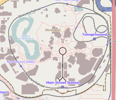 |
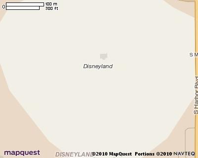 |
||
| Grand Canyon National Park | 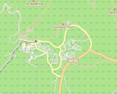 |
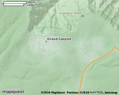 |
||
| Mall of America, Minneapolis MN | 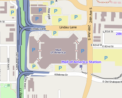 |
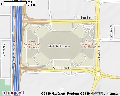 |
||
| Cedar Point, Sandusky OH | 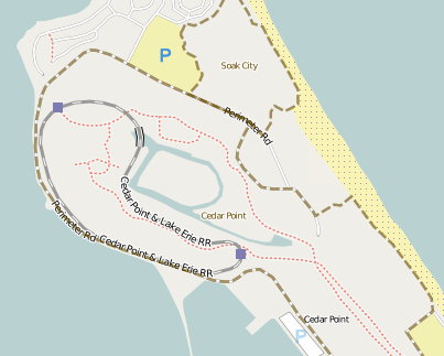 |
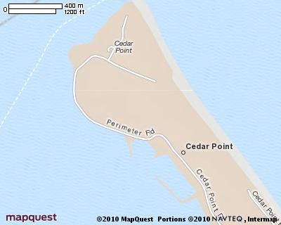 |
||
| Sea World (CA) | 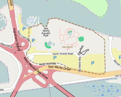 |
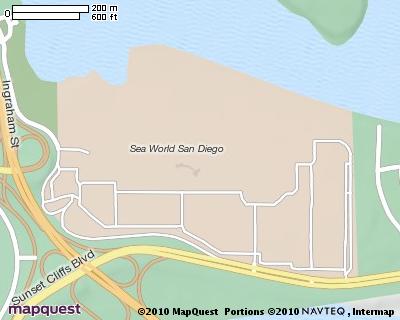 |
||
| Sea World (FL) | 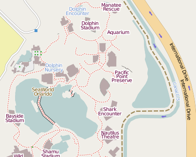 |
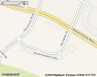 |
MQ Map needs moved slightly to the east | |
| Magic Kingdom,Walt Disney World Resort, Orlando FL | 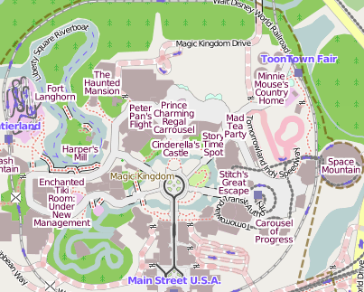 |
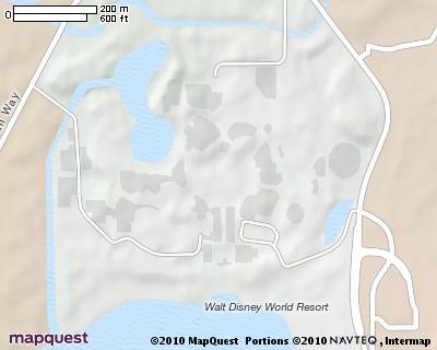 |
||
| Penn Station, NYC | 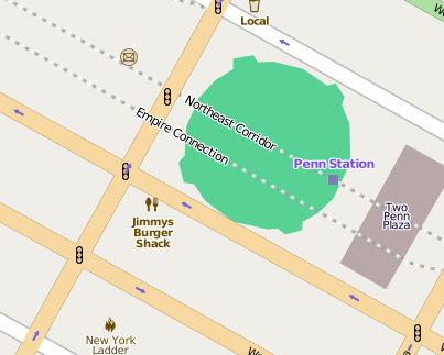 |
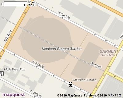 |
||
| Universal Studios (CA) | 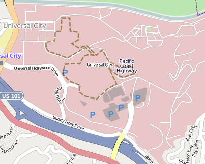 |
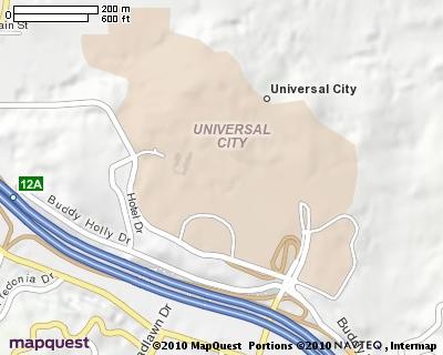 |
||
| Universal Studios (FL) | 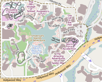 |
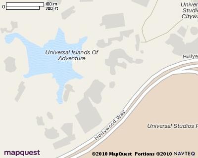 |
About the Guest Author
This Project of the Week was submitted by Antony Pegg, known also as "Ant" or User:Antthelimey. He is a huge fan of maps in general and OpenStreetMap in particular and is in charge of the Open Initiative at MapQuest.


