RoadGuide.ph/Data comparison with OSM
This page provides a visual comparison of the visible data between the Garmin map produced by the OpenStreetMap Philippines community and that produced by RoadGuide.ph. The images are screenshots of Garmin MapSource loaded with the maps from the two mapping communities.
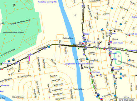
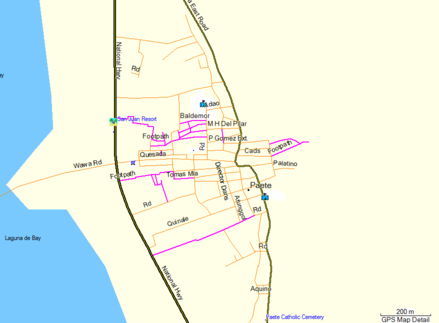
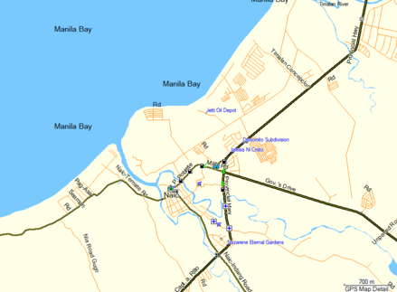
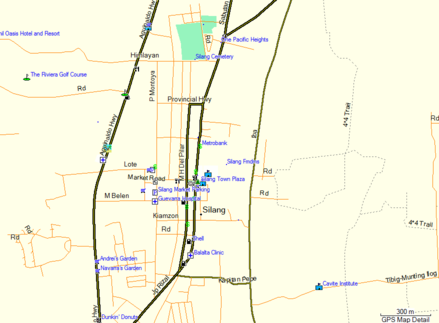
The aim of this page is to demonstrate that while RoadGuide.ph taken as a whole has more data than OSM, the converse is true when looking at specific places in the Philippines. This means that even if you have access to the Contributors Map from RoadGuide.ph, the OSM Garmin map is still useful especially if the place you would like to go to is better in OSM than in RoadGuide.ph.
Data sources: For most places shown below, the OpenStreetMap Garmin map used for comparison was produced using OSM data as of December 23, 2011 while the RoadGuide.ph Garmin map used is the Contributors Map 2.04 which was released in December 2011. For the remaining places (Corregidor, Catbalogan, Gingoog, and Kidapawan), the OSMPH map used December 20, 2012 data while the RoadGuide.ph map used is the Contributors Map 2.18 which was released in December 2012. All the comparisons are still generally valid even when using RoadGuide.ph's Contributors Map 2.23 which was released on May 7, 2013.
RoadGuide.ph is better
In terms of absolute amount of data, RoadGuide.ph has significantly more roads and POIs (waypoints, in RoadGuide.ph terms) for the whole Philippines than OpenStreetMap. There are three possible reasons for this:
- The RoadGuide.ph community is larger and has more active contributors than the OpenStreetMap Philippines community.
- The contribution model of RoadGuide.ph (you only get the latest map if you contribute) tends to encourage more data submissions than the altruism model of OSM.
- RoadGuide.ph allows tracing from satellite imagery provided in Google Earth, and Google has more high-resolution satellite imagery than Bing Maps, from which much of the OSM data in the Philippines is traced.
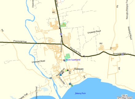
Thus, given an arbitrary town or city in the Philippines, RoadGuide.ph is likely to have more roads and POIs than OpenStreetMap. One illustrative example is shown below.
| Location | OpenStreetMap | RoadGuide.ph |
|---|---|---|
| Balayan, Batangas | 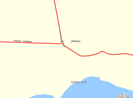
|
|
OpenStreetMap is better
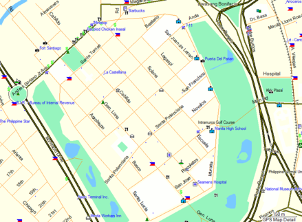
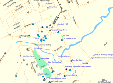
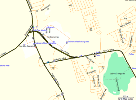
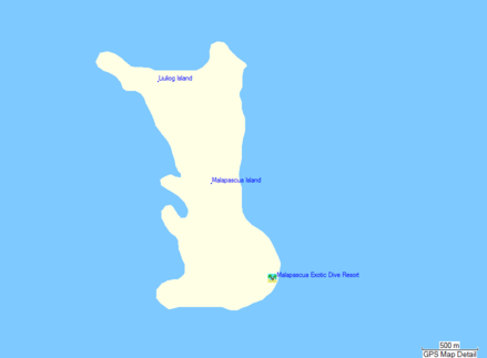
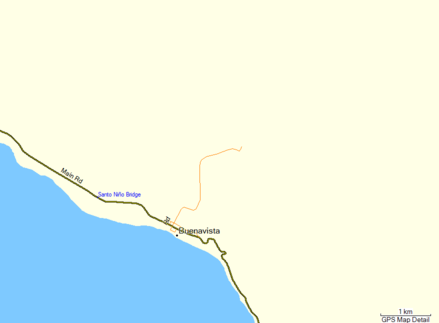
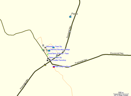
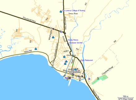
Nevertheless, OpenStreetMap has undeniably more or better data than RoadGuide.ph in many places in the country. Shown below are just some selected locations where this is true. The locations where OSM is better include places in Metro Manila, tourist destinations, provincial capitals, regional centers, and other significant areas.
Metro Manila
| Location | OpenStreetMap | RoadGuide.ph |
|---|---|---|
| Intramuros, Manila | 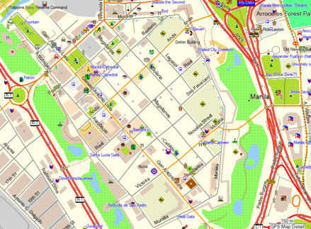
|
|
| Rizal Park, Manila | 
|

|
| Marikina | 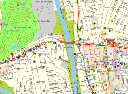
|
|
CALABARZON
| Location | OpenStreetMap | RoadGuide.ph |
|---|---|---|
| Paete, Laguna | 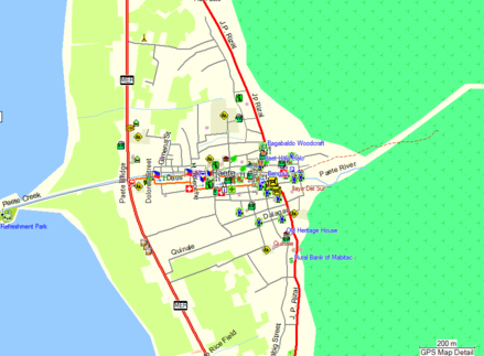
|
|
| San Pablo, Laguna | 
|

|
| Sta. Cruz, Laguna | 
|

|
| UP Los Baños, Laguna | 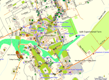
|
|
| Dasmariñas, Cavite | 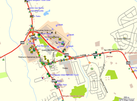
|
|
| Naic, Cavite | 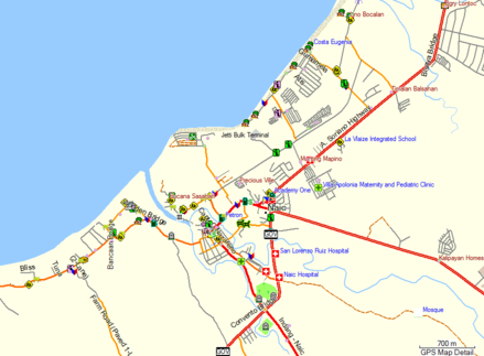
|
|
| Silang, Cavite | 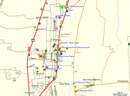
|
|
| Taal and Lemery, Batangas | 
|

|
| Corregidor Island | 
|

|
Island and beach resorts
| Location | OpenStreetMap | RoadGuide.ph |
|---|---|---|
| Malapascua Island, Cebu | 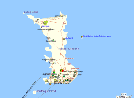
|
|
| White Beach, Puerto Galera | 
|

|
| Bulabog Beach, Boracay | 
|

|
| Diniwid Beach, Boracay | 
|

|
Other areas
| Location | OpenStreetMap | RoadGuide.ph |
|---|---|---|
| Buenavista, Marinduque | 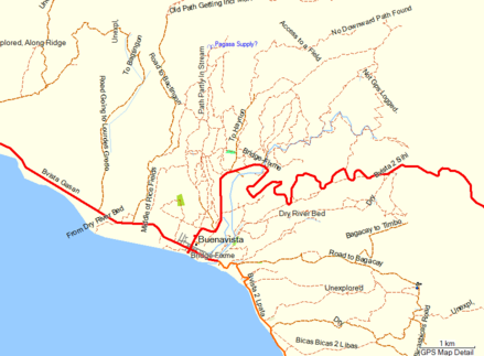
|
|
| Puerto Princesa, Palawan | 
|

|
| Passi, Iloilo | 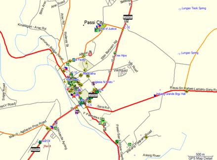
|
|
| Ormoc, Leyte | 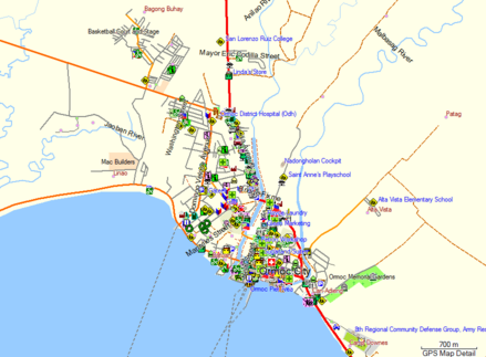
|
|
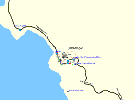
| Catbalogan, Samar | 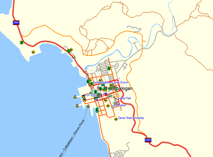
|
|
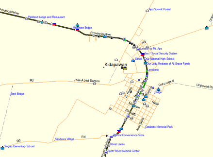
| Kidapawan, Cotabato | 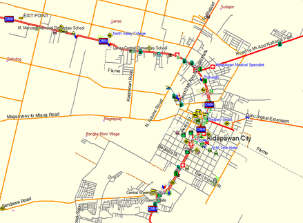
|
|