Uploads by Psadk
Jump to navigation
Jump to search
This special page shows all uploaded files.
| Date | Name | Thumbnail | Size | Description | Versions |
|---|---|---|---|---|---|
| 20:10, 25 August 2014 | Mobac created atlas.png (file) |  |
32 KB | Mobac: atlas created | 1 |
| 20:09, 25 August 2014 | Mobac creating atlas.png (file) |  |
33 KB | Mobac: creating atlas | 1 |
| 20:07, 25 August 2014 | Mobac add selection2.png (file) | 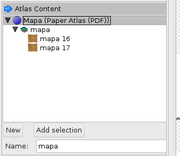 |
12 KB | Mobac: selection added | 1 |
| 20:05, 25 August 2014 | Mobac add selection.png (file) | 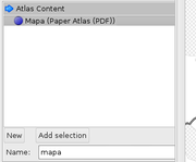 |
11 KB | Mobac: add selection | 1 |
| 20:04, 25 August 2014 | Mobac zoom.png (file) | 5 KB | Mobac: select layers | 1 | |
| 20:03, 25 August 2014 | Mobac zaznaczenie.png (file) | 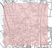 |
234 KB | Mobac: select map bounds | 1 |
| 20:01, 25 August 2014 | Mobac map source.png (file) |  |
10 KB | Mobac: map source | 1 |
| 20:00, 25 August 2014 | Mobac settings paper atlas.png (file) | 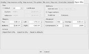 |
36 KB | Mobac settings: paper atlas | 1 |
| 19:58, 25 August 2014 | Mobac settings display.png (file) | 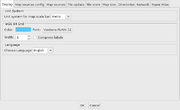 |
24 KB | Mobac settings: display | 1 |
| 19:55, 25 August 2014 | Mobac.png (file) | 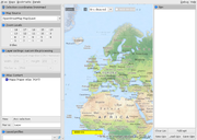 |
547 KB | Mobac, main window | 1 |
| 19:43, 25 August 2014 | Mobac uruchomienie.png (file) | 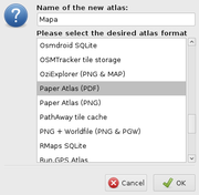 |
23 KB | Mobac: first run | 1 |
| 19:40, 25 August 2014 | Maperitive tiles command.png (file) | 17 KB | Maperitive: generating tiles command line | 1 | |
| 19:39, 25 August 2014 | Maperitive geometry bounds.png (file) |  |
87 KB | Maperitive: geometry bounds | 1 |
| 19:35, 25 August 2014 | Maperitive bitmap command.png (file) | 19 KB | Maperitive: generating bitmap command line | 1 | |
| 19:34, 25 August 2014 | Maperitive printing bounds.png (file) |  |
122 KB | Maperitive: printing bounds | 1 |
| 19:29, 25 August 2014 | Maperitive map sources.png (file) |  |
14 KB | Maperitive: map sources | 1 |
| 19:28, 25 August 2014 | Maperitive download overpass api.png (file) |  |
188 KB | Maperitive: download Overpass API | 1 |
| 19:25, 25 August 2014 | Maperitive wczytaj osm.png (file) |  |
18 KB | Maperitive: wczytaj plik mapy | 1 |
| 19:22, 25 August 2014 | Maperitive okno.png (file) | 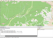 |
322 KB | Maperitive: okno | 1 |
| 19:15, 25 August 2014 | Maperitive pierwsze uruchomienie.png (file) | 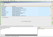 |
79 KB | Maperitive: pierwsze uruchomienie | 1 |
| 07:37, 7 July 2014 | Hillock symbol.png (file) |  |
215 bytes | Proposed symbol for hillocks/knolls. | 1 |
| 07:36, 7 July 2014 | Hill symbol.png (file) |  |
203 bytes | Proposed symbol for hills | 1 |
| 16:50, 6 July 2014 | Hillock mapnik.png (file) |  |
226 bytes | Proposed peak symbol for proposed hills and hillocks/knolls | 1 |