Uploads by Randomjunk
Jump to navigation
Jump to search
This special page shows all uploaded files.
| Date | Name | Thumbnail | Size | Description | Versions |
|---|---|---|---|---|---|
| 11:42, 29 February 2008 | Statsgraph-totalobjects-noimports.png (file) |  |
33 KB | Graph showing total objects over time, trying to exclude data from imported datasets, specifically: unreviewed Tiger, coastlines, and AND data. | 1 |
| 11:40, 29 February 2008 | Statsgraph-totalobjects.png (file) | 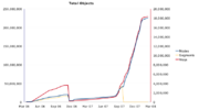 |
33 KB | Graph showing total objects per planet file over time | 1 |
| 11:39, 29 February 2008 | Statsgraph-newobjects-noimports.png (file) | 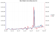 |
36 KB | Graph showing new objects per planet file over time, trying to exclude imported datasets, specifically: unreviewed Tiger, coastlines, and AND data. | 1 |
| 11:37, 29 February 2008 | Statsgraph-newobjects.png (file) | 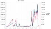 |
50 KB | Graph showing new objects per planet file over time. | 1 |
| 16:38, 9 January 2008 | London-gps.png (file) | 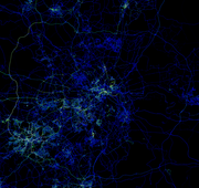 |
767 KB | London GPS points in the OSM database as of 2008-01-04 | 1 |
| 16:36, 9 January 2008 | EuropeGPSpoints.png (file) | 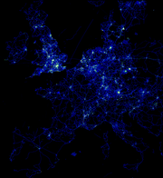 |
563 KB | Central European GPS points currently in OSM. | 1 |
| 09:05, 5 August 2007 | CycleLayer.png (file) | 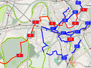 |
180 KB | Sample of the [http://www.gravitystorm.co.uk/osm/ OSM cycle map] | 1 |
| 10:34, 7 July 2007 | Cycleway-markings.jpg (file) |  |
73 KB | Phot showing cycleway markings | 1 |
| 11:52, 18 April 2007 | London-bimonthly-6-months.gif (file) | 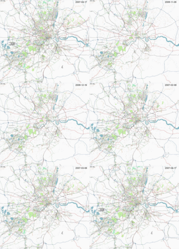 |
481 KB | OSM's Greater London progress from 16/10/2006 up to 17/04/2007 | 1 |
| 18:02, 11 January 2007 | OsmSECTORS.jpg (file) | 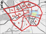 |
125 KB | Sectors for C London mapping party with spray painted completed and low priority area added. | 2 |
| 19:29, 7 January 2007 | Putney-in-osm.jpg (file) | 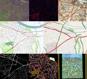 |
140 KB | Shows Putney as it appears using various OSM and related tools. From the top left: landsat, JOSM nodes & segements, NPE maps, osmarender slippy map, mapnik slippy map, GPS track points, JOSM mappaint, and finally on a Garmin Venture Cx GPS handheld. | 1 |
| 19:23, 7 January 2007 | LondonProgress.gif (file) | 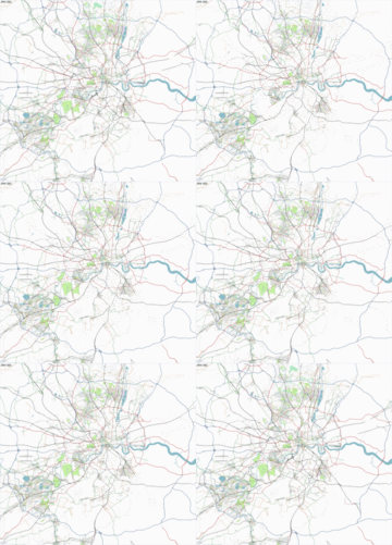 |
479 KB | Updated GIF with recent weeks renderings | 2 |
| 17:49, 17 November 2006 | GreaterLondon-20061114.png (file) | 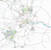 |
989 KB | The Greater London area rendered using OSM data from the DB at 14th November 2006. Done using osmarenderer. | 1 |