Uploads by Toralf
Jump to navigation
Jump to search
This special page shows all uploaded files.
| Date | Name | Thumbnail | Size | Description | Versions |
|---|---|---|---|---|---|
| 19:57, 3 September 2009 | Toralf OSM surveys.png (file) | 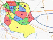 |
301 KB | 5 | |
| 19:44, 3 September 2009 | Toralf OSM surveys 090903.png (file) |  |
616 KB | Southeast of Bremen in SEP 2009 | 1 |
| 19:43, 3 September 2009 | Toralf OSM surveys 080105.png (file) |  |
282 KB | Southeast of Bremen in JAN 2008 | 1 |
| 22:48, 4 January 2008 | Toralf gpsreceiver onhelmet.jpg (file) | 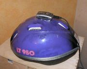 |
19 KB | GPS receiver as head-mounted-device | 1 |
| 18:48, 11 November 2007 | Map A Junction 8.PNG (file) | 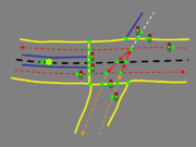 |
26 KB | How to map a junction: 8) Eigth: How it could look like in OSM | 1 |
| 18:35, 11 November 2007 | Map A Junction 7.PNG (file) | 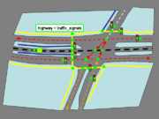 |
42 KB | 1 | |
| 18:34, 11 November 2007 | Map A Junction 6.PNG (file) | 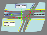 |
42 KB | How to map a junction: 6) Fifth: (Optional) map cycle- and footways | 1 |
| 18:33, 11 November 2007 | Map A Junction 5.PNG (file) | 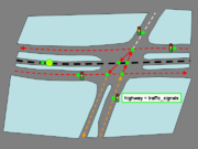 |
31 KB | How to map a junction: 5) Fourth: (Optional) map traffic signals | 1 |
| 18:33, 11 November 2007 | Map A Junction 4.PNG (file) | 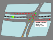 |
29 KB | How to map a junction: 4) Third: Simplest way to map junction | 1 |
| 18:33, 11 November 2007 | Map A Junction 3.PNG (file) | 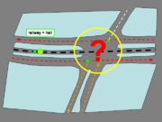 |
32 KB | How to map a junction: 3) Second: add tram halt, but how to design the junction? | 1 |
| 18:32, 11 November 2007 | Map A Junction 2.PNG (file) | 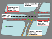 |
34 KB | How to map a junction: 2) Frist: add ways and tag | 1 |