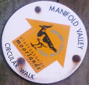
Staffordshire Moorlands
Jump to navigation
Jump to search
| V・T・E |
| latitude: 53.105844, longitude: -2.023155 |
| Browse map of Staffordshire Moorlands 53°06′21.04″ N, 2°01′23.36″ W |
| Edit map |
|
| External links: |
| Use this template for your locality |
Staffordshire Moorlands is a region in Staffordshire at latitude 53°06′21.04″ North, longitude 2°01′23.36″ West.
Hiking, Biking and Horseriding Trails
The Sabrina_Way starts in Staffordshire.
The Manifold Valley Circular Walk is relation 2401591![]() 2401591 (incomplete)
2401591 (incomplete)

