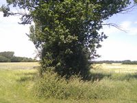
Tag:hedge=hedge_bank
Jump to navigation
Jump to search
| Description |
|---|
| A hedge bank is a barrier, comprising an earth bank with shrubby plants growing in it |
| Group: barriers |
| Used on these elements |
| Status: in use |
| Tools for this tag |
|
A "hedge bank" describes a type of hedge, often used as a boundary between agricultural land and highways. They are comprised of an earth bank from which woody plants, shrubs or grasses grow, forming the hedge.
Usage
This tag was introduced in Germany as a result of a forum discussion to distinguish this type of hedge from a garden hedge. As of November 2022, nearly all (98.3%) of uses of this tag are in Germany, where they may be commonly referred to as Knick, Knicke, Knicks, Över or Öwer.
In the United Kingdom, this type of hedge appears to be similar to a ![]() Cornish_hedge and
Cornish_hedge and ![]() Devon_hedge. The hedge=cornish tag has some usage in the UK.
Devon_hedge. The hedge=cornish tag has some usage in the UK.
How to map
Add hedge=hedge_bank to a barrier=hedge feature.
