Tag:natural=peninsula
| Description |
|---|
| A piece of land projecting into water from a larger land mass, nearly surrounded by water |
| Group: natural |
| Used on these elements |
| Requires |
|
name=* |
| See also |
| Status: approved |
| Tools for this tag |
|
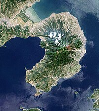
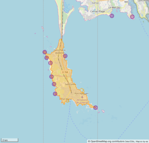
The tag natural=peninsula is used to tag a named peninsula (from Latin paeninsula, from paene "almost" + insula "island"): a piece of land projecting into water from a larger land mass and being nearly surrounded by water.
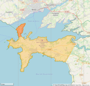
A peninsula can also be part of a larger peninsula:
How to map
Set a node ![]() in the center of the peninsula or draw an area
in the center of the peninsula or draw an area ![]() encompassing the peninsula and add natural=peninsula + name=*.
encompassing the peninsula and add natural=peninsula + name=*.
Please do not map very large peninsulas like subcontinents as multipolygons as they strain the servers much and are hard to maintain. (Relation#Size recommends a maximum number of 300 members in a relation.)
See also
natural=isthmus
Use natural=isthmus for (thin) land bridges that connect two larger land masses.
natural=cape
The tag natural=cape refers to a coastal extreme point, that is the tip of a land area that projects into water. In contrast, natural=peninsula refers to a land area that projects into water and that is nearly surrounded by water.
A natural=cape can but doesn't have to be be part of a natural=peninsula and there can be several natural=cape on a natural=peninsula. However, a natural=peninsula cannot be part of a natural=cape.
Note that 'cape' sometimes refers to a coastal extreme point, i.e. natural=cape, (e.g. Cape York) and sometimes to a peninsula, i.e. natural=peninsula (e.g. Cape Cod). Besides, both cape and peninsula sometimes share the same name (e.g. Cape York and Cape York peninsula).


