Tag:office=geodesist
Jump to navigation
Jump to search
| Description |
|---|
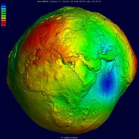
| An office of scientists studying Earth shape. |
| Rendering in OSM Carto |
| Group: offices |
| Used on these elements |
| Useful combination |
|
| Status: in use |
| Tools for this tag |
|
According to ![]() Geodesy, it should be the office of scientists who study Earth's shape and gravity.
Geodesy, it should be the office of scientists who study Earth's shape and gravity.
It deals with the measurement and mapping of large-scale features on the Earth’s surface.
Not to be confused with the tag office=surveyor.
