| About Me
|

|
This user submits data to OpenStreetMap under the name
Borbus.
|

|
Borbus submits data to OpenStreetMap using JOSM.
|
|
Borbus has been an OpenStreetMap contributor since late 2010 when he got his first GPS device for his bicycle. He quickly realised that the best maps available for a bicycle are made from OSM data, but they still need a lot of work, so OSM addiction commenced. Now everywhere he goes he is thinking to himself "Has anyone mapped this place yet?"
Tools
- Garmin eTrex Legend HCx for collecting tracks
- JOSM for editing
- Digital camera for taking pictures while out surveying (later Geotagged by JOSM)
- Sanyo Eneloop batteries for never running out of power while out
- Armchair for sitting and tracing Bing imagery (but never in an area I have never been out and surveyed first!)
Data sources
The majority of my data comes from surveys and Bing aerial imagery. I quite often make use of Ordnance Survey OpenData, but I always set appropriate source tags in this case. Any other data sources I use will be noted on this page: User:Borbus/Other sources.
Pretty pictures

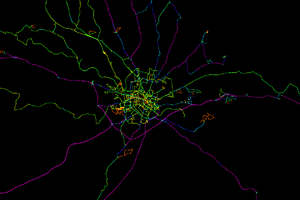
Places I have been in the Norwich area.

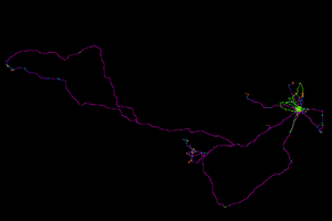
Places I have been in the England and Wales area.

