User:SomeoneElse/Unknown GB Paths
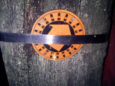
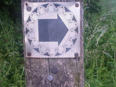
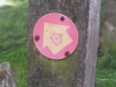
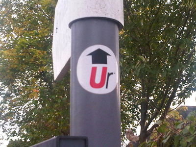
What's this sign then?
That one's here:
http://www.openstreetmap.org/?lat=53.135791&lon=-1.342976&zoom=18&layers=M
pointing southeast. The style of the sign is similar to that of the North_Chesterfield_Way and the Drone_Valley_Way, so I'm guessing that they may be related. It's being added as relation 1777003![]() 1777003.
1777003.
Coloured waymarkers for 4 "loops" off the 5 pits trail - a different colour for each loop ?
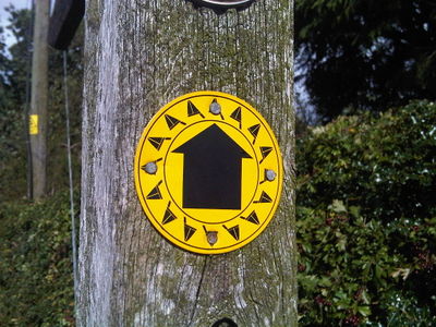
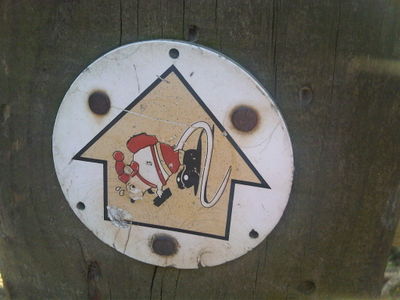
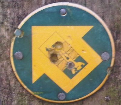
Not far away there's this one
Are those Saxon helmets or stylised dinghy sails? It's also a similar style to the "miners' lamps" one above.
This one's at http://www.openstreetmap.org/?lat=53.148727&lon=-1.343481&zoom=18&layers=M , but there are also similar signs to the northeast between Hardstoft at Astwith and near Stockley. It's being added as relation 1766345![]() 1766345.
1766345.
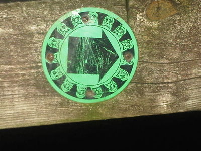
And a similar design is this
This one is also a similar style to the two above.
This one's at http://www.openstreetmap.org/?mlat=53.14833&mlon=-1.28485#map=19/53.14833/-1.28485 . There are also a couple on the trail north of Skegby. It's part of relation http://www.openstreetmap.org/relation/5540048 .
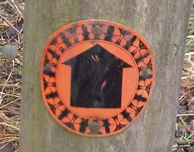
And also this
This is also on the trail north of Skegby. It is part of relation http://www.openstreetmap.org/relation/5540041 .
And This
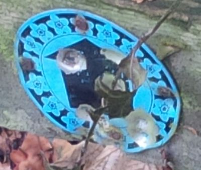 This one is at http://www.openstreetmap.org/node/5304836445 and is part of relation http://www.openstreetmap.org/relation/7840881 .
Also similar are several signs near Whitwell
There are red and yellow ones. That's either silver or faded yellow.
This particular sign is here: http://www.openstreetmap.org/?mlat=53.28557&mlon=-1.21167#map=19/53.28557/-1.21167
Whitwell Churches Loop - Derbyshire County Council & Whitwell Parish Council
And this seems to be some sort of rodent
That's just east of Ford in Derbyshire around here: http://www.openstreetmap.org/?lat=53.318675&lon=-1.395826&zoom=18&layers=M
The Mosborough Mouse. It's the Mosborough Country Walk sign. The best starting point is Crystal Peaks. It will be in the Chesterfield & NE Derbyshire Ramblers summer walks programme (2015), combined with a Sheffild local history walk, a tram ride to Crystal Peaks, and a walk to Eckington !
The signs have largely disappeared but the route is virtually unchanged if not enhanced near Oxclose.
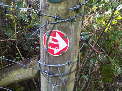
Between two railways
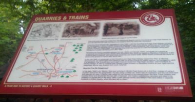
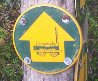
This one is west of Wirksworth here: http://www.openstreetmap.org/?lat=53.08471&lon=-1.58377&zoom=15&layers=M Maybe it's related to the Ecclesbourne valley railway to the east or the Steeple Grange Light Railway to the north? Or perhaps to this information board:
Locomotion No 1
This is on the Chesterfield Canal between Chesterfield (station) and Barrow Hill (roundhouse) - and just down the hill from Tapton House, George Stephenson's home. The Tapton circuit of the Derbyshire County Council leaflet - Brimington Common and Tapton
Mine
Not far from the Locomotion No 1 signs are similar ones showing an old mine. Brimington Common part of the same Derbyshire County Council leaflet.
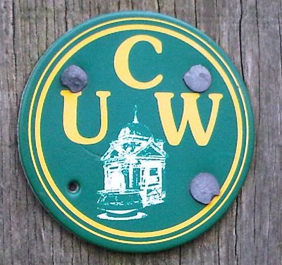
UCW
This one's north of the A50 near Uttoxeter (along one branch of the River Tean). It's being added as relation 2378345![]() 2378345.
2378345.
Probably the Uttoxeter Walking Club doing an anti-clockwise circuit.
Yellow and Red Derbyshire arrows
That's a yellow one, and it's pointing northeast here: http://www.openstreetmap.org/?mlat=53.177913&mlon=-1.52984&zoom=18&layers=M
That one's particularly faded. There are red ones too:
They occur in addition to regular footpath arrows, but there seems to be no name for the routes.
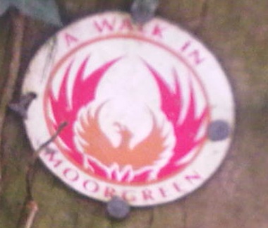
A walk in Moorgreen
This sign was here: http://www.openstreetmap.org/?lat=53.04471&lon=-1.27604&zoom=15&layers=M
There are a few others over towards Eastwood I think.
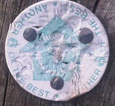
6 of the Best / Another 6 of the Best
These are south and west of Underwood.
"6 of the best" is being added as relation 2418267![]() 2418267.
2418267.
"Another 6 of the best" is being added as relation 2418576![]() 2418576.
2418576.
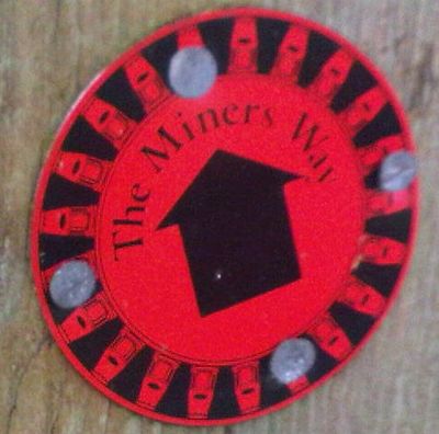
The Miners Way, Barlborough
There are a few signposted routes near Barlborough. This one is being added as relation 2188696![]() 2188696.
1 of a set of 4 walks from Barlborough Parish Council.
2188696.
1 of a set of 4 walks from Barlborough Parish Council.
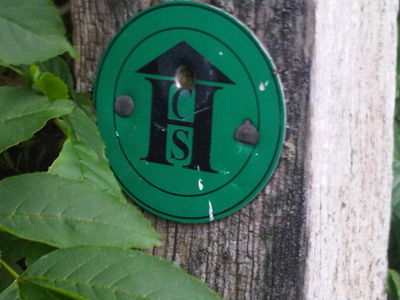
CSH, Clowne
There are a few of these between Oxton and Clowne. Has not been added as a relation yet.
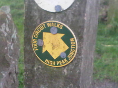
Four Circuit Walks from High Peak Junction
There are four signposted routes from High Peak Junction. They need tracking down and sorting into routes.
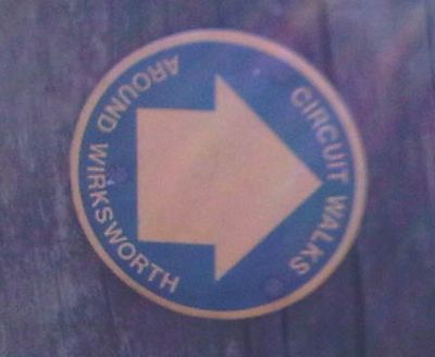
Circuit Walks around Wirksworth
There are a few signposted routes near Wirksworth. Do they form one route or many?
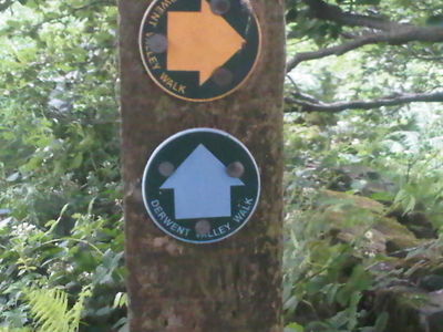
Derwent Valley Walks
There are lots of these in the Derwent Valley in Derbyshire (that one indicates a section of public footpath and also what is now a restricted byway). Do they even form a coherent route network?
Derwent Valley Walks (yellow for walkers, blue for bridleway)
Ur west of Derby
There are a few of these west of Derby; this one's near Osmaston. They seem to form a route, but what for?
