WikiProject Surrey Hills England
What
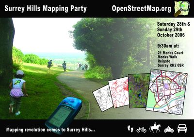
A mapping party in the Surrey Hills was held in October 2006.
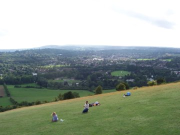
The Surrey Hills is a designated area of outstanding natural beauty. It is the target for this mapping party and is located to the south of London between the M25 motorway and Gatwick airport.
The aim is to bridge the gap between Reigate and Weybridge.
The mapping party is free and open to everyone.
If you have a GPS unit bring it along. If you don't we will lend you one. If you have a digital camera it will be useful for recording street signs and points of interest, if you don't have one we will give you a pencil and paper. Bring your favourite mode of transport; car, bicycle, bus-pass, hiking-boots, horse, motorbike. There are areas to map for all modes of travel.
Where
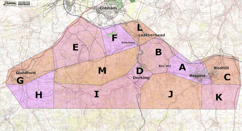
The major towns that need to be covered to bridge the gap between Weybridge and Reigate are Leatherhead, Fetcham, Bookham and Dorking. There is also Guildford, the county town of Surrey, to the west.
Fetcham and Bookham are very suburban, Leatherhead and Dorking are more traditional towns.
Between Leatherhead and Reigate are part of the Surrey Hills, a designated area of outstanding natural beauty. The North Downs Way and Box Hill are both in this area.
The natural (?) boundaries of this area are the A3 to the west, M25 to the north and M23 to the east. Roughly an area the size of Rutland, but a much larger population.
With the leaves turning during October this is a really nice area to visit.
Cake
For planning purposes the target area has been divided into zones.


