WikiProject Uganda/Uganda Refugee Settlements Roads Mapping Guide
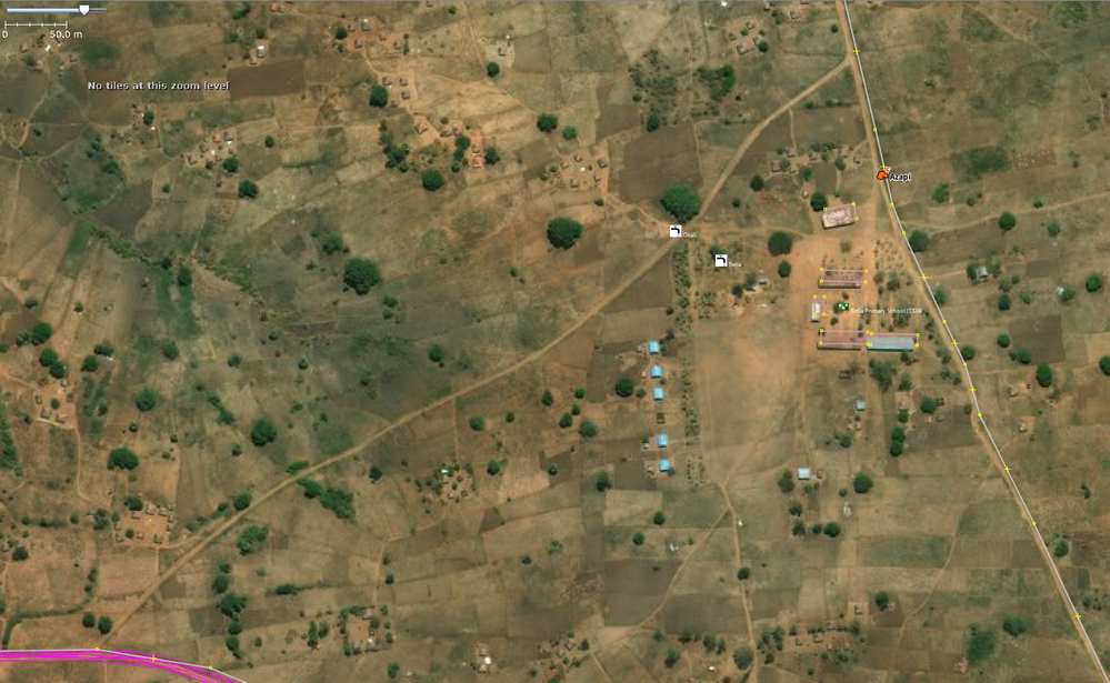
The HOT Uganda team is working with local community members and refugees in districts like Arua, to map villages and facilities to help coordinate the unexpectedly large refugee response in Northern Uganda. As part of their work-flow, the surveyors collected gpx tracks as they moved around on motor bikes (bodaboda) from November 2017 to March 2018, collecting data. The purpose of this task is to use the gpx tracks data to clean up and complete the road network in Arua, one of the districts hosting South Sudanese refugees (in Imvepi and Rhino Refugee Settlements). These roads have never been mapped before, and this pioneering information is used by emergency response teams from multiple agencies bring assistance to refugees who try to survive in these outlying areas.
Instructions
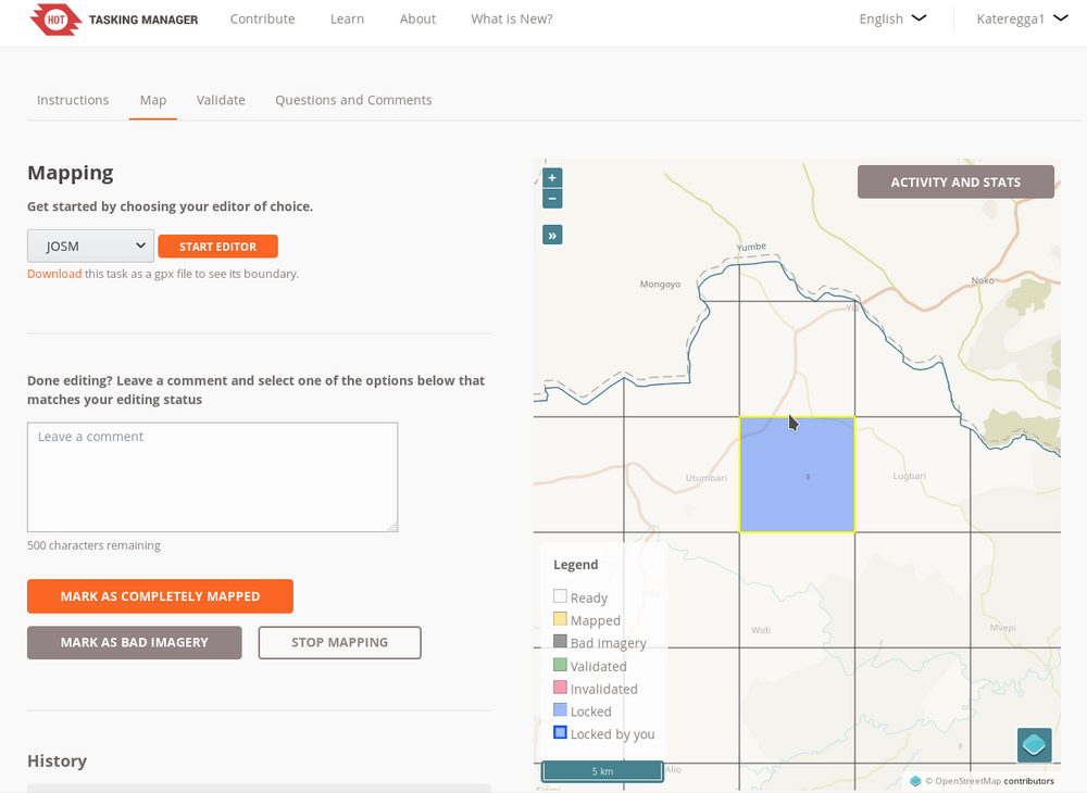
Select a task and open it in JOSM
Download the GPX tracks from here and store them in a location of your choice on your computer. (You don't have to download the data again for other tasks, just load the same file into JOSM as it covers the whole district) Navigate to the folder, drag and drop the file into JOSM
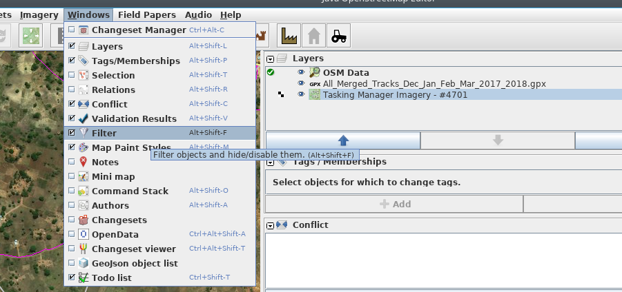
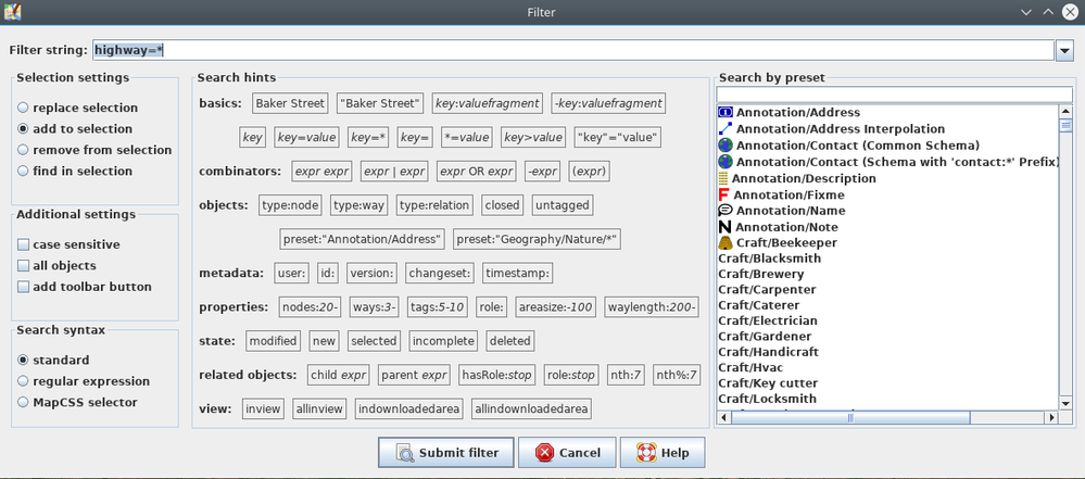
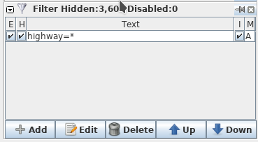
Activate the highway=* filter to see only roads. If you don't have the Filter Window, go the the Menu Bar, then Windows and activate it. Click on Add in the filter window, under filter string enter highway = *, then activate. Next toggle on E, I and H under the filter window. This way you can check the road network against the tracks and the imagery.
Toggle off the filter to start tracing, trace all roads that are not yet digitized including the GPX tracks and remember that these tracks are used daily and always lead to a feature or another road.
Ignore the straight lines where the gps had lost signal, use the imagery to trace the right flow of the road.
Please map all other roads or routes that are clear in the imagery.
Road and Path Mapping
Most of the major/tarmac roads are already well mapped. You are mapping that critical last 'mile'.
You will most often use the following "Road" and "Path"
- Minor/Unclassified - This is for roads that connect small villages and settlements (most commonly used road tag)
- Path - This is for small paths that are usually used by people on foot or 2 wheeled vehicles. They may or may not connect settlements or lead to farm fields, tagged highway=path. Only map the major paths that connect to settlements or other roads.
Other possible roads will be
- Residential Road - These are roads that are in settlements but only are used for access to houses and buildings.
- Unmaintained Track Road - This is for roads that only lead to farm fields or forests, tagged as highway=track. They do not connect settlements or residential areas. (Not required for this project, but if you want to map you can)
See Africa Highway Tags page for advice on tagging roads and the OSM map features page for more info.
