Woking Mapping Party
This is a past event.
Woking (participal vb.) Standing in the kitchen wondering what you came in here for. The meaning of Liff. Douglas Adams & John Lloyd.
What
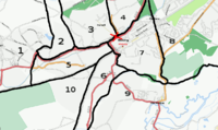
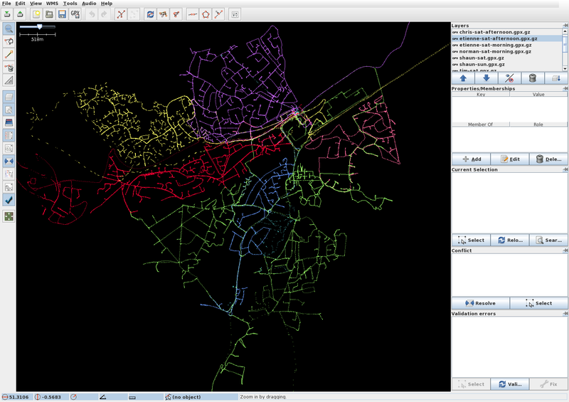
Almost all of Surrey is mapped. But Woking sticks out like a sore thumb as the most un-mapped town in the county. This weekend we are going to fix that.
http://en.wikipedia.org/wiki/Woking
Apart from roads, Woking has a pedestrianised town centre, several commons and heaths, and a well developed and signed network of cycle paths. So there's mapping opportunities for people with any mode of transport.
Where
The commuter/dormitory town of Woking, Surrey, UK.
Rendezvous each morning at the Cafe in The Lightbox, Chobham Road, Woking, GU21 4AA. Location. The Lightbox does a good breakfast and has free wi-fi (SSID=Lightbox, ask at reception for a WEP key).
There's an adjacent car-park, but it's 90p per hour (max £6.70 on Saturday, max £2.90 on Sunday).
Woking railway station is about 5 minutes walk.
When
The weekend of May 31, June 1, 2008.
Saturday May 31
- 09:30 Planning. Rendezvous at the Lightbox Cafe.
- 10:00 Out and about.
- 13:00 Lunch at the Lightbox Cafe.
- 14:00 Out and about.
- 16:30 Afternoon tea at the Lightbox Cafe.
- 17:00 More surveying (for the ultra-keen).
- 18:00 Drinks probably at the Lotus Lounge Bar and dinner probably at Charlie Choy's pan Asian Buffetworks (£14.95 per person).
Sunday June 1
- 10:00 Planning. Rendezvous at the Lightbox Cafe.
- 10:30 Out and about.
- 13:00 Lunch at the Lightbox Cafe.
- 14:00 Out and about.
- 16:30 Wrap up the Lightbox Cafe.
Who
Sign up here:
Sat
Sun


