Bicycle and pedestrian tagging in Australia
| This is a proposal only. The following tagging schemes and mapping methods have not been discussed with the community. Mappers should stick to established schemes and use common sense |
| The tagging schemes on this page are a work in progress and may contravene current conventions. Please do not edit this page to change them to the existing scheme |
This page proposes to standardise the tagging and mapping methods of (primarily) bicycle and pedestrian infrastructure within Australia.
Introduction
Unfortunately for cyclists in Australia, there remains a problem of infrastructure discontinuity between states, cities, and even local government areas. As such, it is often the case where one piece of infrastructure for cyclists abruptly, and sometimes dangerously, ends. Therefore, the below examples aim to achieve uniformity with the tagging schema for pedestrian and bicycle infrastructure. Not all fields are required, however the more information, the better. It is hoped that this will facilitate, in particular, better routing, but also allow for research, analysis, improved map rendering, and other benefits which OpenStreetMap data is known for.
State differences
(Note: as a NSW resident, I may miss some differences between rules in different states of Australia. Please let me know if you find any errors).
- Bicycles are not allowed on footpaths (sidewalks) in Victoria and New South Wales (some exceptions apply)
Road crossings
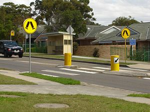
Zebra crossings
On nodes at the intersection with the road and footway:
highway=crossing
crossing=marked
crossing_ref=zebra
crossing:island=yes/no
|
highway=crossing
|
Off-road infrastructure
Sidewalks
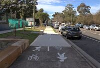
A sidewalk is an area for pedestrians to walk along the side of the road. In some states cyclists can use the footpath, and in all states children under a certain age are also permitted to cycle on the footpath.
How to map
footway=sidewalk
|
890914145 |
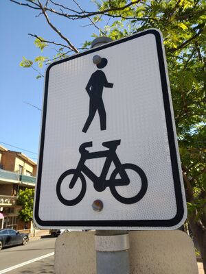
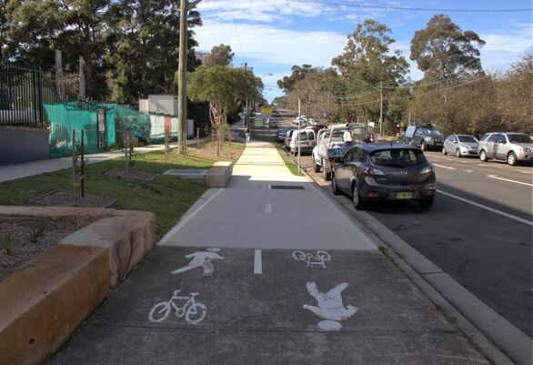
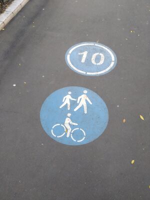
Shared paths are paths designed for the use of both bicycles and pedestrians. Paths which are not segregated mean that bicycles and pedestrians are in the same traffic streams. A non-segregated shared path can be identified by the following legal instruments:
How to map
bicycle=designated
|
Sutherland Cronulla Active Transport Link |
TODO
On-road infrastructure
Bicycle Contraflow
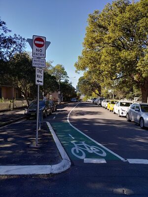
A contraflow allows cyclists to ride in the opposite direction of motor vehicle traffic. It is more common where space is limited e.g. laneways, narrow one-ways. These only apply when specifically signposted, as there is no automatic exception for bicycles to violate one-way restrictions or no entry signs except where explicitly allowed.
How to map
highway=residential
|
Arundel Street |
