DE:Featured images/Jan-Mar 2012
Jump to navigation
Jump to search
Hier sind die vorgestellten Bilder zu sehen. Die Bilder wurden als Vorzeigebeispiele des OpenStreetMap-Projektes auserwählt.
Wenn du ein Bild hast, welches als Bild der Woche sein könnte, dann kannst du es hier auf der (en) Vorschläge des ausgewählten Bildes-Seite vorschlagen.
| ← von Januar bis März 2011 | ← von Oktober bis Dezember 2011 | von April bis Juni 2012 → | von Januar bis März 2013 → |
Galerie der vorgestellten Bilder, von Januar bis März 2012
Details und Beschriftungen
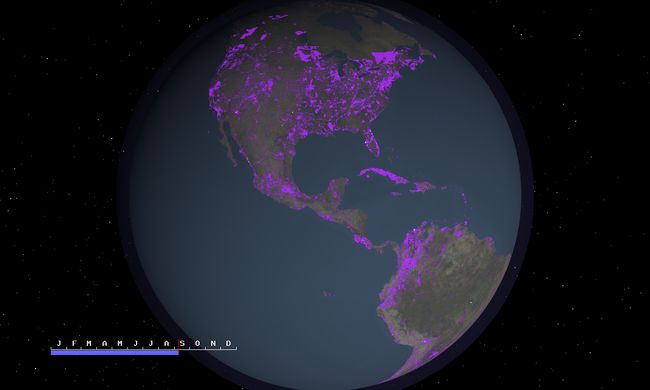
Woche 1 (von Montag, 2. Januar 2012 bis Sonntag, 8. Januar 2012) [Edit]
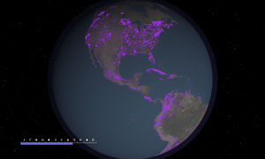
- English : A year of OSM - video showing editing activity during 2011
- Deutsch : 1 Jahr OSM - Video zeigt die Aktivitäten der Mappern in Jahr 2011
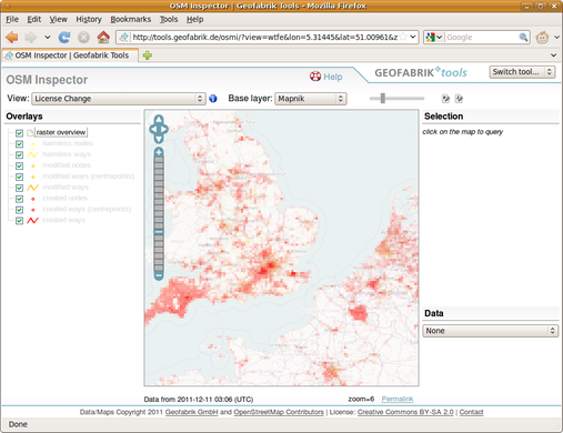
Woche 2 (von Montag, 9. Januar 2012 bis Sonntag, 15. Januar 2012) [Edit]
- English : OSM Inspector License Change View is a useful tool for Remapping in preparation for the upcoming license change
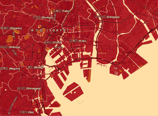
Woche 3 (von Montag, 16. Januar 2012 bis Sonntag, 22. Januar 2012) [Edit]
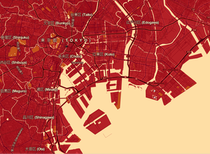
- English : Tokyo [as rendered in red by CloudMade] -- hosts for State Of The Map 2012
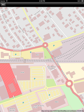
Woche 4 (von Montag, 23. Januar 2012 bis Sonntag, 29. Januar 2012) [Edit]
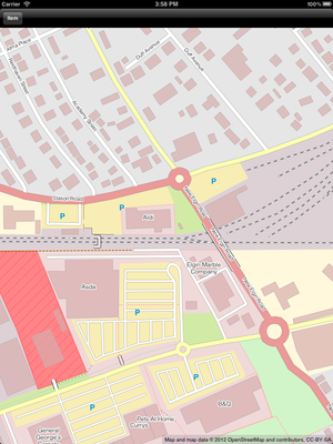
- English : OpenStreetPad is a MapCSS based OpenStreetMap renderer for iPhone and the iPad.
Woche 5 (von Montag, 30. Januar 2012 bis Sonntag, 5. Februar 2012) [Edit]
- English : The Forbidden City in Beijing
- Deutsch : Die Verbotene Stadt in Peking
Woche 6 (von Montag, 6. Februar 2012 bis Sonntag, 12. Februar 2012) [Edit]
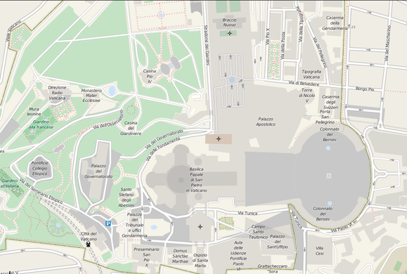
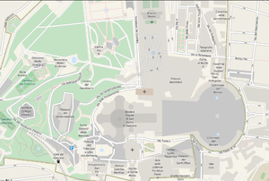
- English : Detail of Vatican City
- Deutsch : Die detaillierte Karte der Vatikanstadt
Woche 7 (von Montag, 13. Februar 2012 bis Sonntag, 19. Februar 2012) [Edit]
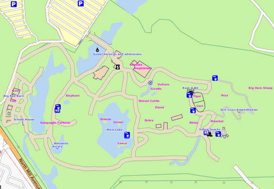
- English : Phoenix Zoo (pictured) and others around the USA are starting to follow Berlin's example of being detailed in the OSM maps.
Woche 8 (von Montag, 20. Februar 2012 bis Sonntag, 26. Februar 2012) [Edit]
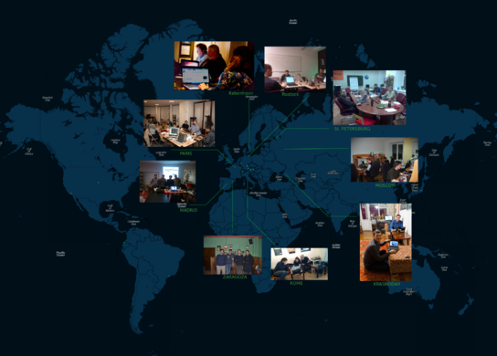
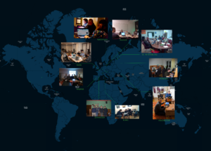
- English : Teams around the world took part in Night of the living maps, adding data from Aerial imagery
- Deutsch : Gruppen auf der ganzen Welt machten bei der Night of the living maps mit und ergänzten Daten aus Luftbildern
Woche 9 (von Montag, 27. Februar 2012 bis Sonntag, 4. März 2012) [Edit]
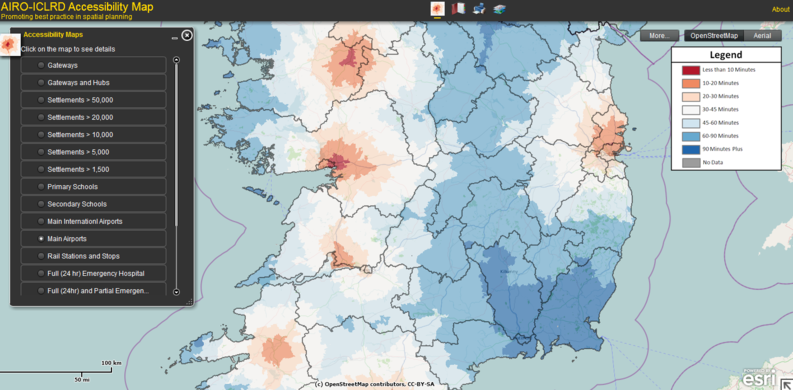
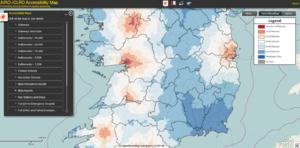
- English : Travel-time to airports in Ireland: AIRO-ICLRD's Accessibility Map idea chooses OSM as base layer
Woche 10 (von Montag, 5. März 2012 bis Sonntag, 11. März 2012) [Edit]
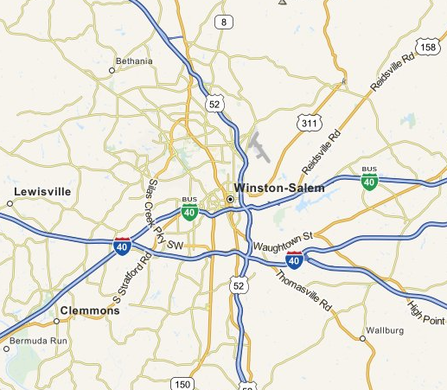
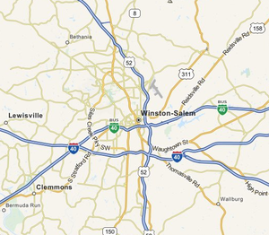
- English : MapQuest Open tiles, showing their improved highway-labels
Woche 11 (von Montag, 12. März 2012 bis Sonntag, 18. März 2012) [Edit]
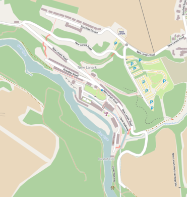
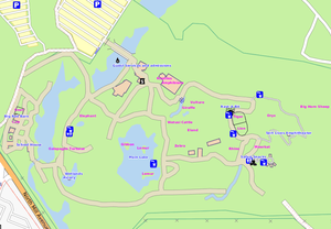
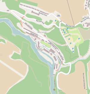
- English : Results from the New Lanark mapping party
- Deutsch : Ergebnisse der Mapping Party in New Lanark
Woche 12 (von Montag, 19. März 2012 bis Sonntag, 25. März 2012) [Edit]
- English : Clusters of tag usage in Edinburgh, shows types of contributor by the tags they use
Woche 13 (von Montag, 26. März 2012 bis Sonntag, 1. April 2012) [Edit]
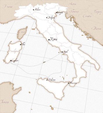
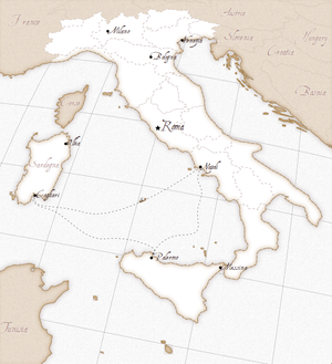
- English : Kartograph's rendering of Italy, showing just how much can be done in JavaScript.

