Dortmund/Luftbilder/Potw
< Dortmund | Luftbilder
Jump to navigation
Jump to search
Links
Text proposal
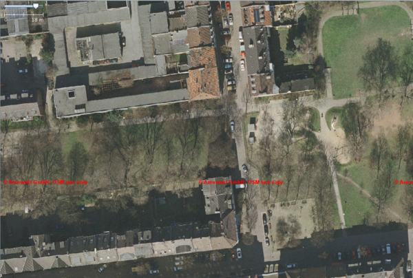
This week's project: "5-centimeters-per-pixel orthophoto"
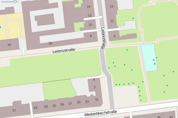
Map with 5-centimeters-per-pixel orthophoto all the residential and other buildings around here [1] (edit in potlatch here [2]) and local users will enter the house numbers. The company Aerowest supports OpenStreetMap as a free project. For the first time in Germany, a company available high-resolution aerial coverage for three months. The pilot project will be the entry point for further aerial releases. Aerowest has images of more than 350 cities ...more...
Example
Orthophoto
and see in OSM [3]

