ES:Featured images/Apr-Jun 2018
Jump to navigation
Jump to search
Estas son imágenes destacadas, que se han identificado como los mejores ejemplos de mapeo de OpenStreetMap, o como ilustraciones útiles del proyecto OpenStreetMap.
Si conoce otra imagen de calidad similar, puede nominarla en propuestas de imagen destacada (en).
| ← de abril a junio 2017 | ← de enero a marzo 2018 | de julio a septiembre 2018 → | de abril a junio 2019 → |
Galería de imágenes destacadas, de abril a junio de 2018
Detalles y subtítulos
Semana 14 (desde el lunes 2 abril 2018 hasta el domingo 8 abril 2018) [Edit]
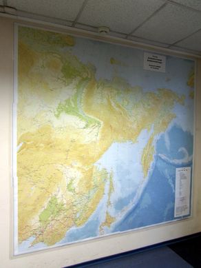
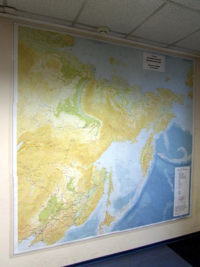
- English : A huge printed map in an office in Russia. Made by Dmitry Afonin with QGIS using OSM data. More photos and more maps.
Semana 15 (desde el lunes 9 abril 2018 hasta el domingo 15 abril 2018) [Edit]
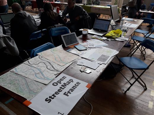
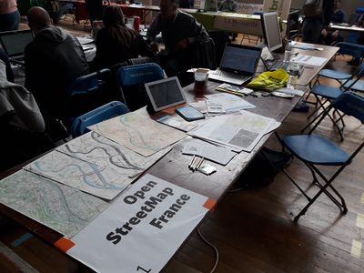
- English : OpenStreetMap France (a local chapter of the OpenStreetMap Foundation) was present at “Les Journées du logiciel libre”, a free software event that was held on Lyon, France, on 24–25 March 2018. Picture by Sylvain Maillard.
Semana 16 (desde el lunes 16 abril 2018 hasta el domingo 22 abril 2018) [Edit]
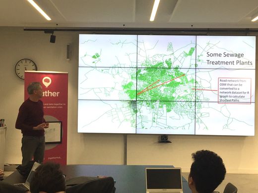
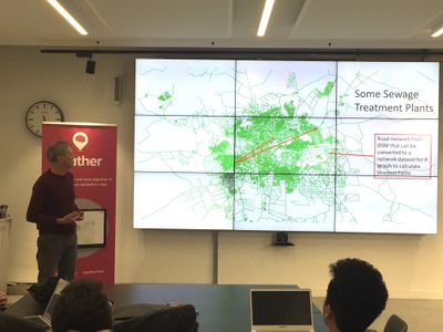
- English : Calculating routing distances to sanitation facilities in Lusaka, Zambia. A project presented at Gather Data Dive.
Semana 17 (desde el lunes 23 abril 2018 hasta el domingo 29 abril 2018) [Edit]
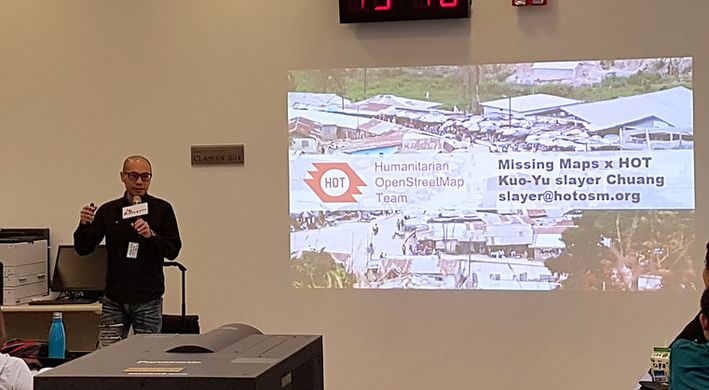
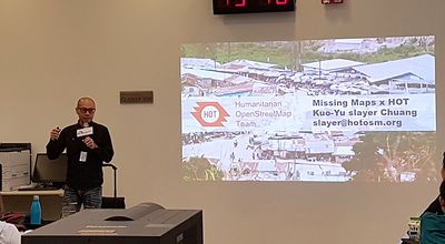
- English : HOT Board Member Kuo-Yu slayer Chuang introducing the Humanitarian OpenStreetMap Team and Missing Maps Project to hundreds of participants in Taipei American School Mapathon. One of the biggest Mapathons ever held in Taiwan.
Semana 18 (desde el lunes 30 abril 2018 hasta el domingo 6 mayo 2018) [Edit]
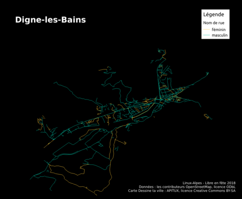
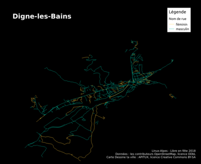
- English : Thematic map of street names by gender in Digne-les-Bains (Alpes-de-Haute-Provence, France), made in the “Dessine ta ville” (Draw your city) workshop for the “Libre en fête 2018” event organized by Linux-Alpes (apitux.org).
Semana 19 (desde el lunes 7 mayo 2018 hasta el domingo 13 mayo 2018) [Edit]
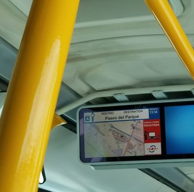
- English : OpenStreetMap on a public bus in Málaga, Spain. Spotted by Nick Doiron.
- español : OpenStreetMap en un autobús público en Málaga, España. Visto por Nick Doiron.
Semana 20 (desde el lunes 14 mayo 2018 hasta el domingo 20 mayo 2018) [Edit]
- English : State of the Map Poland 2018 took place last month in Poznań.
Semana 21 (desde el lunes 21 mayo 2018 hasta el domingo 27 mayo 2018) [Edit]
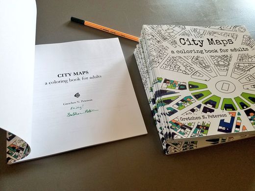
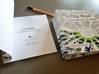
- English : “City Maps – a coloring book for adults”, by Gretchen Peterson, is another very creative use of OpenStreetMap data.
Semana 22 (desde el lunes 28 mayo 2018 hasta el domingo 3 junio 2018) [Edit]
- English : A 3D barplot showing occurrences of biergartens within the OpenStreetMap data for Germany. This and a range of other visualisations were created with this Blender/Python project by Nikolai Janakiev.
Semana 23 (desde el lunes 4 junio 2018 hasta el domingo 10 junio 2018) [Edit]
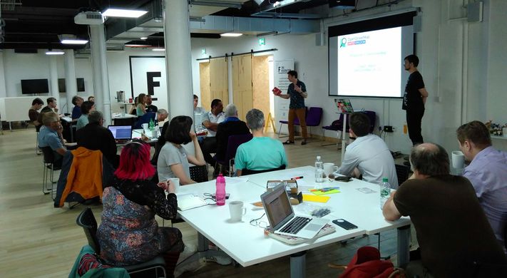
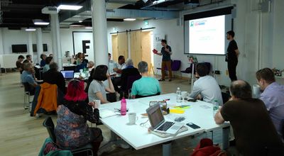
- English : OSMUK held their first AGM recently, with an Open Data Manchester event alongside.
Semana 24 (desde el lunes 11 junio 2018 hasta el domingo 17 junio 2018) [Edit]
- English : OSMUK held their first AGM recently, with an Open Data Manchester event alongside.
Semana 25 (desde el lunes 18 junio 2018 hasta el domingo 24 junio 2018) [Edit]
- English : Our maps of the 12 venues of the
 2018 FIFA World Cup in Russia.
Semana 26 (desde el lunes 25 junio 2018 hasta el domingo 1 julio 2018) [Edit]
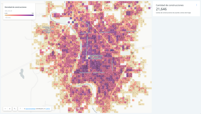
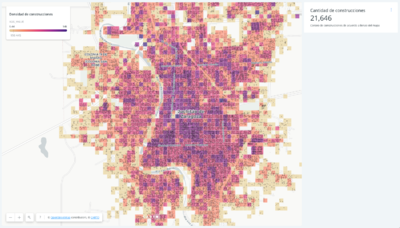
- English : A map (on Carto Builder) showing building density after 2017 Mexico Earthquakes mapping efforts in Juchitán, Oaxaca, created with CARTO.

