Fairfax Connector/Data request
Jump to navigation
Jump to search
First email to county, 21 March 2011
To: FCDOT GIS Coordinator
From: Josh Doe
Date: Mon, 21 Mar 2011 08:33:52 -0400
Subject: Bus stop locations and details

Dear Sir or Madam,
I am a contributor to the OpenStreetMap (OSM) project [1], which aims
to create a comprehensive, freely available map of the world. As I
live in Fairfax County, my interest is focused here, and my personal
goal is to create a comprehensive and detailed map of Burke Centre.

Part of this includes adding all the bus stops in the community. I've
mapped a few of these that I'm personally aware of, however I thought
surely the county must have a comprehensive list of all these bus
stops, including details such as if there is a shelter, what the
lighting is like, and what bus routes include that stop. Does the
county have this sort of information in a geographic format like
Geodatabase or Shapefiles, and could I obtain a copy of the data?

Thank you for your assistance,
Josh

[1]: http://www.openstreetmap.org/?lat=38.78839&lon=-77.30385&zoom=17&layers=M
Response on 24 March 2011
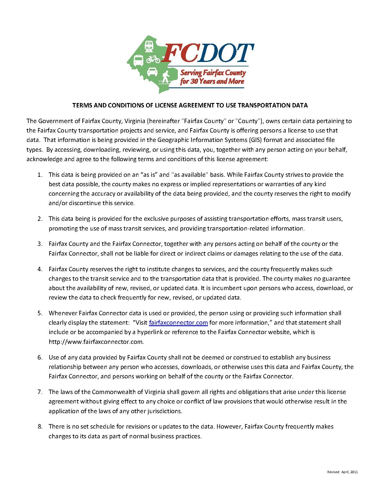
The GIS Coordinator of the Fairfax County Department of Transportation responded that they do have the requested information, but will require a license agreement to be signed. This license agreement can be viewed on their web site here.
Second email to county, 24 March 2011
To: FCDOT GIS Coordinator
From: Josh Doe
Date: Thu, 24 Mar 2011 13:13:32 -0400
Subject: Re: FW: Bus stop locations and details

Dear [removed],
Thanks for getting back to me so quickly. I've read through the
license agreement, and think I need to ask some clarifying questions.

All data that is in OpenStreetMap is currently licensed under CC-BY-SA
[1], but there are plans to switch to ODbL [2]. Both licenses are
basically the same, in that anyone using OSM data must attribute OSM,
and any changes made must be shared under the same license. Data
submitted by users (such as myself) must agree to the contributor
terms [3].

Data providers like yourself handle this in one of a few ways. Some
simply release the data into the public domain, or perhaps apply the
ODbL license to the data. Others will attach a disclaimer of warranty,
which is what the District of Columbia did when they released their
data [4].

Reading through the license agreement it seems there are some clauses
which would preclude me from using the data. Section 2 says the
license is "non-sublicensable", which would be opposed to section 3 of
the contributor terms:
"OSMF agrees that it may only use or sub-license Your Contents as part
of a database and only under the terms of one or more of the following
licences..."

This and other parts of the license agreement leads me to believe that
I would require a special authorization to use this data in OSM.

I hope we can work through this licensing issue, as I believe allowing
this data to be used in OSM will be of mutual benefit to both the
County and OSM. There are currently only around 200 bus stops mapped
in the County, and so we would greatly improve our coverage. The
County would benefit in a number of ways, including the possibility of
feeding back changes made by the community, as well as opening up the
data to new and innovative uses of the data.

Thank you for your assistance,
Josh

[1]: http://creativecommons.org/licenses/by-sa/2.0/
[2]: http://www.opendatacommons.org/licenses/odbl/
[3]: http://www.osmfoundation.org/wiki/License/Contributor_Terms
[4]: http://wiki.openstreetmap.org/wiki/Contributors#District_of_Columbia_OCTO
Response on 25 March 2011
Will have to escalate request to upper management.
Response on 14 April 2011
Got permission to provide the data!
To: Josh Doe
From: FCDOT GIS Coordinator
Date: Thu, Apr 14, 2011 at 4:27 PM
Subject: Re: Bus stop locations and details
Josh,
Great new[s], I finally heard back from my director and got the green light.
[...]
Inquiry about terms and conditions on 14 April 2011
To: FCDOT GIS Coordinator
From: Josh Doe
Date: Thu, Apr 14, 2011 at 4:57 PM
Subject: Re: FW: Bus stop locations and details

[...]
There might be one difficulty with the license agreement, with the 5th
paragraph:
'Whenever Fairfax Connector data is used or provided, the person using
or providing such information shall clearly display the statement:
“Visit fairfaxconnector.com for more information,” and that statement
shall include or be accompanied by a hyperlink or reference to the
Fairfax Connector website, which is http://www.fairfaxconnector.com.'

Due to the nature of OpenStreetMap, in that it is a collection of data
from thousands of users and agencies, it is not possible to display
such a statement upon every map that uses the data. The only
attribution required by consumers of OSM data is something along the
lines of "Map data (C) OpenStreetMap & contributors". We can however
provide attribution on the OSM website and on the data itself.

The DC GIS department has provided extensive data to OSM, with the
only requirement that there be a notice on the OSM website, which you
can see here:
http://wiki.openstreetmap.org/wiki/Attribution#District_of_Columbia_OCTO

We could do the same for this data, linking to the Fairfax Connector
website from that same page, as well as adding "source=Fairfax
Connector" and "source:url=http://fairfaxconnector.com" tags to the
raw data itself. Would this be acceptable?

Thanks,
-Josh
Response on 15 April 2011
To: Josh Doe
From: FCDOT GIS Coordinator
Date: Fri, Apr 15, 2011 at 10:30 AM
Subject: Re: FW: Bus stop locations and details
[...]
Long story, short...accredit Fairfax Connector wherever possible & include their url in all possible locations.
[...]
Perhaps I can ask and post his full response, but I believe this to be sufficient permission to merge their data with OSM.
Got data on 15 April 2011!
CD containing Personal GeoDatabase file with all bus stops, bus routes, and roads in Fairfax County! See Fairfax Connector for more information.
