India/Tags/Education
Educational institutions in India.
Usage
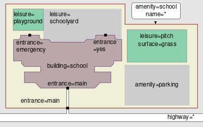
Mark the boundary of the kindergarten/school/college using an ![]() Area or place a Node
Area or place a Node ![]() in the middle of the site if you are in a hurry (or don't have access to information about the boundary and it is not obvious from aerial imagery).
in the middle of the site if you are in a hurry (or don't have access to information about the boundary and it is not obvious from aerial imagery).
Values
| Tags | Element | Comment | Carto-Rendering | Photo |
|---|---|---|---|---|
| amenity=baby_hatch | A place where mothers can bring their newborn babies and leave them anonymously in a safe place to be found and cared for. | |||
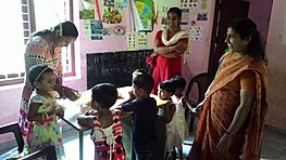
| amenity=kindergarten
name=* The name of the establishment name:hi=Name in Local Language or name:ml=Name in Local Language website=* phone=* capacity=* The number of children that can be accommodated fee=* yes if a fee is charged, no if no fee is charged operator=* The name of the organization which runs the facility; this may be the local government, a religious parish, or a parent association. isced:level=0 Level 0 education on the International Standard Classification of Education min_age=* and max_age=* to indicate age range of children that attend said school |
A place for looking after preschool children and (typically) giving early education | 
| ||
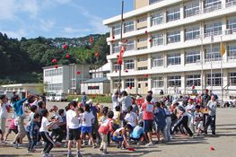
| amenity=school
name:hi=Name in Local Language or name:ml=Name in Local Language |
A primary or secondary school (pupils typically aged 6 to 18) | 
| ||
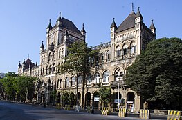
| amenity=college | A place for further education, usually a post-secondary education institution | 
| ||
| amenity=university | An educational institution designed for instruction, examination, or both, of students in many branches of advanced learning. | |||
| amenity=prep_school |
