Overpass introduction
This presentation and accompanying maps is about how to build thematic maps from OpenStreetMap data, using the Overpass tool. The step-by-step tutorial provides a very basic, very low-threshold introduction to Overpass QL, MapCSS, and Overpass Turbo. The presentation was originally part of an OSM workshop for wikipedians and has been presented Oct 10, 2020. Focus is on Overpass, but not exclusively. Many accompanying maps focus on electricity production and transport. Hopefully it can be used also as self-study guide.
See subpage for scripts (see also links below each image).
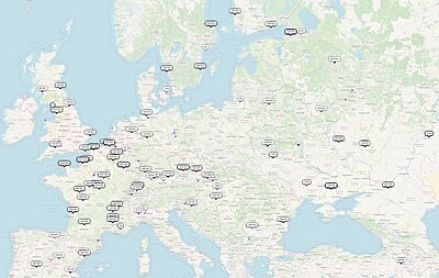
Examples on electrical power production and transport
Compare with Open Infrastructure Map which is global, granular, always up-to-date (in short awesome), but maybe just a slight bit too complex and granular for harvesting thematic maps for Wikipedia.
Miscellaneous examples
|
|


