Photos
Jump to navigation
Jump to search
Regular photos
Can be:
- shot while surveying, see Photo mapping
- linked from OSM to illustrate POI, see Photo linking
Panoramic photos
Can be:
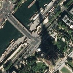
Aerial photos
Can be:
- used as an imagery source (but only do so if the license permits it!)
- displayed as a background layer in maps
Using photos for mapping
In general you should only uses photos for mapping, if the photos have a compatible license or OpenStreetMap has explicit permission to use the photos.


