Uploads by Colargol
Jump to navigation
Jump to search
This special page shows all uploaded files.
| Date | Name | Thumbnail | Size | Description | Versions |
|---|---|---|---|---|---|
| 13:44, 27 February 2023 | OSMLIbreFete4.png (file) | 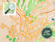 |
629 KB | {{Information | description=Visuel atelier OpenStreetMap "Libre en fête" | source=own work | date=2023-02-27 | author=La Turbine Coop / Jérôme Villafruela | other_versions= }} | 1 |
| 15:26, 17 October 2022 | Claix-modifs-2022-07-09-2022-10-14-small.jpg (file) | 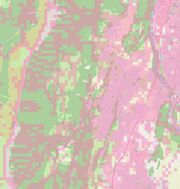 |
936 KB | {{Information | description=Carte mettant en évidence les différence sur carte de la région de Claix (Isère) entre le 04/07/2022 et le 14/10/2022. | source= | date= | author= | permission= | other_versions= }} | 1 |
| 16:42, 31 December 2019 | Grenoble - nouveau panneau d'affichage municipal.jpg (file) |  |
845 KB | Nouveau panneau d'affichage municipal à Grenoble | 1 |
| 16:34, 18 December 2019 | OSM go! on smartphone.jpg (file) | 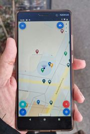 |
1.31 MB | L’application OSM Go! en action. | 1 |
| 17:56, 16 December 2019 | Panneau indicateur à Saint-Michel-les-Portes.jpg (file) |  |
847 KB | Panneau indicateur près de l'ancienne carte de Saint-Michel-les-Portes. En arrière plan le massif du Dévoluy. | 1 |
| 18:36, 12 February 2019 | Screenshot streetcompete-v10-fr.png (file) | 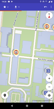 |
364 KB | Screenshot of the StreetComplete Android application (v10,fr). The area shown is in Grenoble. | 1 |
| 23:14, 4 February 2013 | PanneauIndicateurColDeFraisse.jpg (file) | 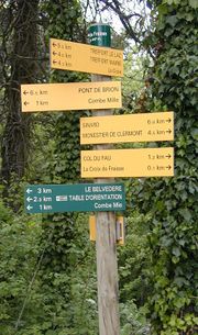 |
134 KB | en : Guidepost on a footpath at the Fraisse pass (Isère, France) fr : Panneau indicateur sur un sentier au col de Fraisse | 1 |