Uploads by Larskr
Jump to navigation
Jump to search
This special page shows all uploaded files.
| Date | Name | Thumbnail | Size | Description | Versions |
|---|---|---|---|---|---|
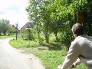
| 19:16, 17 September 2009 | Pict6595.jpg (file) |  |
608 KB | Die Bahn achtet auf ihren Nebenstrecken noch nicht allzusehr auf Radfahrerbedürfnisse ... | 1 |
| 19:13, 17 September 2009 | Pict6759.jpg (file) |  |
539 KB | Das Dorf (bzw. der Ortsteil von Grevesmühlen) Poischow wurde neu entdeckt! | 1 |
| 10:37, 24 June 2009 | Mapping mv juli 2009 OSM nach dem Ausflug.png (file) |  |
133 KB | 1 | |
| 10:00, 24 June 2009 | Mapping mv juli 2009 OSM vor dem Ausflug.png (file) |  |
125 KB | 2 | |
| 09:56, 24 June 2009 | Mapping mv juli 2009 bild3.jpg (file) |  |
187 KB | 1 | |
| 09:55, 24 June 2009 | Mapping mv juli 2009 bild2.jpg (file) |  |
205 KB | 1 | |
| 09:55, 24 June 2009 | Mapping mv juli 2009 bild1.jpg (file) |  |
230 KB | 1 | |
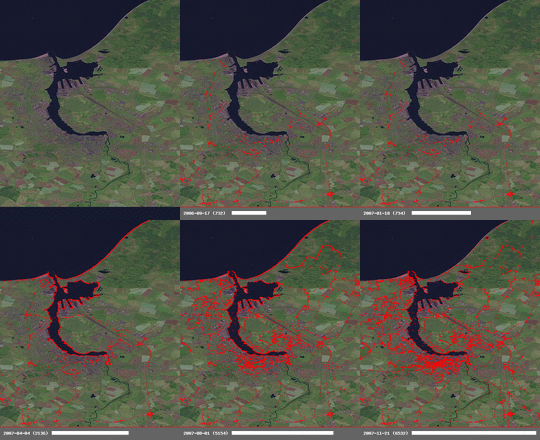
| 20:27, 15 January 2008 | Rostock-history-020080115.gif (file) |  |
203 KB | * current state: 01/15/2008 * settings: bbox: 54.0133,12.0333,54.2433,12.2333 * date range: earliest to latest * background: landsat * created with: http://wiki.openstreetmap.org/index.php/Historical_Coverage | 1 |
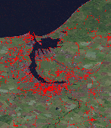
| 20:24, 15 January 2008 | Rostock-history.gif (file) |  |
23 KB | * current state: 01/15/2008 * settings: bbox: 54.0133,12.0333,54.2433,12.2333 * date range: earliest to latest * background: landsat * created with: http://wiki.openstreetmap.org/index.php/Historical_Coverage | 1 |
| 15:02, 16 December 2007 | Bad Doberan.png (file) |  |
121 KB | Map of the county Bad Doberan in Germany (16th December 02007) | 1 |