Uploads by Xamanu
Jump to navigation
Jump to search
This special page shows all uploaded files.
| Date | Name | Thumbnail | Size | Description | Versions |
|---|---|---|---|---|---|
| 13:24, 26 April 2021 | Osmfiles.jpg (file) |  |
49 KB | 2 | |
| 15:21, 29 January 2021 | Osmf-foss-inventory-report-numbers-potential.jpg (file) |  |
85 KB | 1 | |
| 15:20, 29 January 2021 | Osmf-foss-inventory-report-numbers-current.jpg (file) |  |
87 KB | 1 | |
| 20:58, 3 September 2019 | Hackerspace.svg (file) |  |
2 KB | 1 | |
| 04:58, 16 October 2016 | A-crowd-sourced-transit-map-for-managua.pdf (file) | 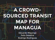 |
15.46 MB | The presentation slides for the State of the Map 2016 talk about a crowd-sourced transit map for Managua's capital. Authorː MapaNica.net - OpenStreetMap Nicaragua | 1 |
| 08:51, 20 May 2016 | Bluefields risk places identification.jpg (file) | 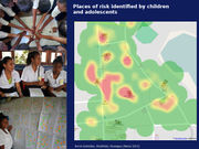 |
198 KB | Foto series by User:Xamanu about using OSM and mapping in schools on Nicaraguas Atlantic Coast to identify places of risk and give children a voice through mapping. https://www.flickr.com/photos/xamanu/albums/72157651536645102 Read m... | 1 |
| 08:20, 20 May 2016 | Managua bus users map.jpg (file) | 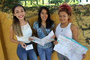 |
7.6 MB | Managua bus users showing OSM based paper map of public transportation network. First map of it's kind in an Central American capital. Foto shared by User:Xamanu und CC-BY 2.0 license. Sourceː https://www.flickr.com/photos/xamanu/2415... | 1 |
| 21:42, 6 January 2016 | Openstreetmap-nica.svg (file) |  |
39 KB | 2 | |
| 03:01, 27 May 2015 | Permission uraccan.jpg (file) | 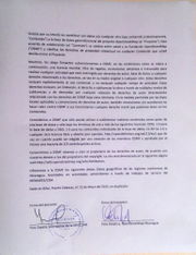 |
745 KB | Permission for the use of the data from the University of the Autonomous Regions of the Nicaraguan Caribbean Coast (URACCAN) | 1 |
| 21:24, 12 September 2013 | Carretera secundaria urbana.jpg (file) | 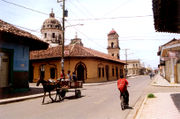 |
431 KB | https://secure.flickr.com/photos/luisechanove/1999780917/sizes/o/ | 1 |
| 21:23, 12 September 2013 | Carretera tertiary urban.jpg (file) | 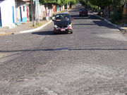 |
555 KB | https://secure.flickr.com/photos/neilwillsey/3386182263/sizes/l/ | 1 |
| 21:16, 12 September 2013 | Primaria managua.jpg (file) | 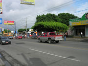 |
421 KB | https://secure.flickr.com/photos/jesjimher/127886446/sizes/l/ | 1 |
| 21:10, 12 September 2013 | Calle residencial urbana.jpg (file) | 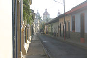 |
277 KB | Alex Barth - https://secure.flickr.com/photos/a-barth/66662753/sizes/l/ | 1 |
| 20:58, 12 September 2013 | Carretera rural.jpg (file) | 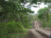 |
668 KB | https://secure.flickr.com/photos/lonqueta/3871027189/sizes/l/ | 1 |
| 20:57, 12 September 2013 | Calle residencial.jpg (file) |  |
277 KB | Alex Barth - https://secure.flickr.com/photos/a-barth/66662753/ | 1 |
| 20:53, 12 September 2013 | Carretera.jpg (file) | 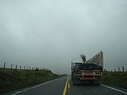 |
981 KB | https://secure.flickr.com/photos/bdebaca/437325670/sizes/o/ | 1 |
| 14:34, 26 July 2013 | Mercado oriental.png (file) | 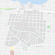 |
0 bytes | Map of the oriental market in Managua, Nicaragua | 1 |