Talk:Key:monitoring:water level
Jump to navigation
Jump to search
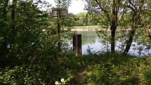
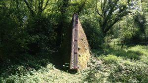
I don't understand why ways or relations are not allowed since it is accepted for general purpose monitoring_stations. Scales along waterways are usally mounted on a kind of wall, sometimes discontinued, with the riverside's path passing between two parts of it. An example (many like this) on the river Rhône, close to Lyon :

