Unite Maps Initiative/UN Mappers/OSM Features in Somalia
In this page you can find the editing guidelines used in the Unite Maps initiative to add topographic data in Somalia, to help UN peacekeeping operations brought by UNSOS.
General Instructions
For this Mission, the important features are:
If you are new to OpenStreetMap editing, you can start from here. For any other feature not covered in this guide, please refer to the general OSM Feature list always checking the local community editing guidelines, if any, in that country. In Somalia, OSM editing is managed by OSM Somalia.
Highways
Highway extraction is an important task for the production of topographic maps. Highways must be mapped with correct geometry and tags. Among those, hierarchy attributes highway=* and surface surface=* are the most important.
The classification of an highway depends not only on its width but more importantly from the role that road is playing within the overall road network. Find more in the general editing guideline.
Highways for those areas MUST be mapped accordingly to the Highway Tag Africa guideline. You can find a brief summary below.
The most frequent tags for road hierarchy in this area are:
While for the surface type, generally use:
Highways classification
When mapping highways, the clue of classification is mainly the social and economic role of the way, that means it's importance as communication axe.
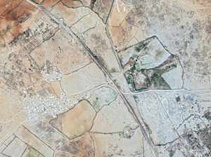
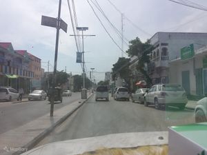
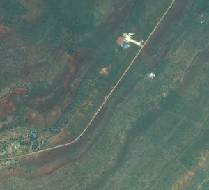
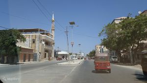
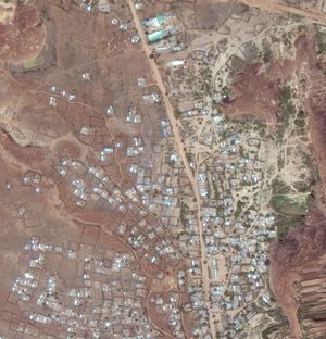
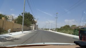
| Tag (key, value) | Type | Description | Satellite image | Field image |
|---|---|---|---|---|
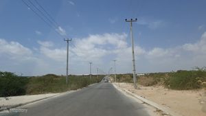
| highway=primary | Primary Road | Major transportation route between and into major cities within a country.
Engineered alignment. |
||
| highway=secondary | Secondary Road | Major transportation route between cities and large towns.
Collector function in urban areas. It starts from a highway=primary. |
||
| highway=tertiary | Tertiary Road | Major transportation route between towns and larger villages.
Collector function in urban areas. It starts from a highway=secondary. |
||
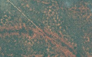
| highway=track | Track Road | Access route from dwellings to agricultural and forestry areas.
No connection function between settlements. |
||
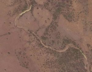
| highway=path | Path | Travel route between small dwellings, water sources or for livestock movement.
May be the primary access route for isolated settlements. Can be used instead of highway=residential when connecting small huts. Steep grades, narrow width, irregular alignment, obstacles, boulders, stream crossings, and seasonal use. |
||
| highway=unclassified | Unclassified Road | Minor roads that allow travel and commerce from paths and residential roads between villages and dwellings.
Connection function between settlements. While generally not residential, there can be houses along the road. |
||
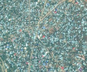
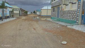
| highway=residential | Residential Road | In urban areas or rural villages, roads which serve as an access to housing, without function of connecting settlements. Often lined with housing.
This tag is used only in urban areas and only on roads which serve no other purpose than residential. |
Waterways
Waterways has to be mapped in a network-like structure as highways. Similarly to roads, hierarchy of waterways is important and defined by waterway=*.
Big rivers may be mapped as relations (for more, see Relation:waterway. By the way, for our mapping activities, mapping them as lines is more than sufficient.
Many rivers in this area may be intermittent or seasonal, meaning that the water is not present on the ground all-year long. If a river is seasonal, the right tagging is the combination of both intermittent=yes + seasonal=yes.
The most frequent tags for waterways in this area are:
While to target seasonality, where needed, generally use:
For further information about the mapping of rivers, you can visit the dedicated river mapping guide.
Waterways classification
| Tag (key, value) | Type | Description | Satellite image |
|---|---|---|---|
| waterway=river | River | Major waterway, collecting and distributing water through canals and streams.
Width: >10 meters. |
|
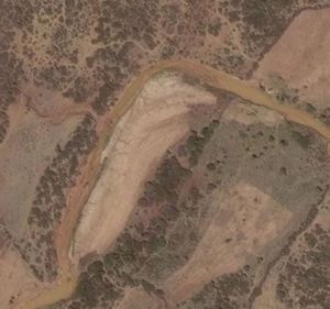
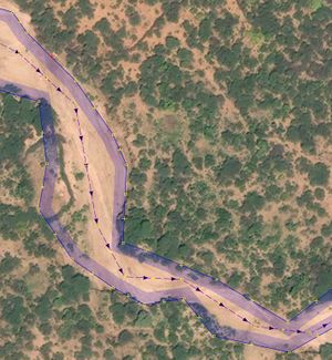
| natural=water + water=river | Riverbank | If a riverbank is visible from satellite imagery, it has to be mapped as polygon. A line for the waterway=river must be drawn inside the riverbank as shown in photo.
If the river is seasonal or intermittent, please add the same tags to the riverbank. If a river has a name, apply the name to the line and not to the riverbank. Width: >10 meters. |
|
| waterway=stream | Stream | Minor waterway, connected to a river.
Width: <10 meters. Most of the times ‘You could jump over it’. |
Barriers
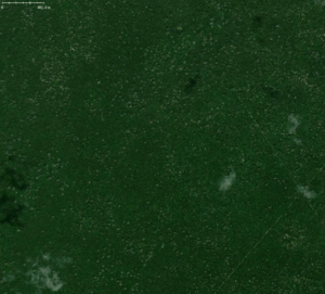
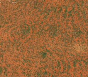
Barriers are an important feature in Somalia, because many nomadic populations modify vegetation setting up natural fences, in order to create meadows, farmlands or even residential areas or mines.
The majority of barriers are made by vegetation material, thus:
Is the most used tag by far. Especially in villages, you can also find some barrier=fence or barrier=wall.
Commonly, the different landcovers or landuses delimited by barriers are:
Barriers classification
| Tag (key, value) | Type | Description | Satellite image |
|---|---|---|---|
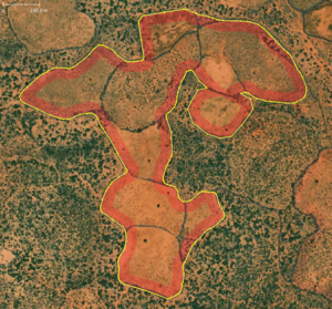
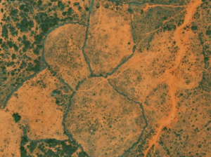
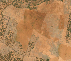
| barrier=hedge | Hedge | Hedges identify a line of closely spaced shrubs and tree species, which mark the boundary of an area.
They may be actively managed, but this is not always the case. Most of the times, they can carry a landuse or landcover tag, e.g. landuse=meadow. You can map them also 'generalizing' between more barriers, as in this example. |
Landcover
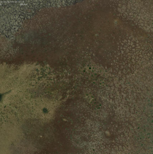
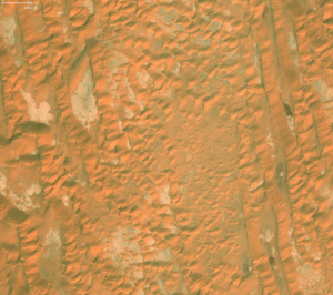
Landcover represents the vegetation or the soil composition visible from satellite imagery, without any relationship to their usage.
Landcover can be mapped as:
- Polygon, if it doesn’t have any different landcover class inside it. The rule here is 'One_feature,_one_OSM_element'. As for that, polygons mapped as landcover must not intersect or overlap landuse polygons.
- Multipolygon relation, if it does have other landcover classes completely falling inside the outer polygon. In this case, the outer polygon may be composed by many separate lines. The class of the outer landcover is assigned to the relation and not to the outer ways.
The most common landcover classes in this area are:
Landcover classification
| Tag (key, value) | Type | Description | Satellite image |
|---|---|---|---|
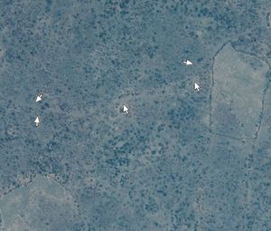
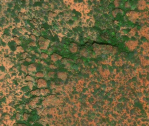
| natural=wood | Wood | Tree-covered area (a 'forest' or 'wood').
This area is not maintened with human intervention, differently from landuse=forest |
|
| natural=scrub | Scrub | Uncultivated land covered with shrubs, bushes or stunted trees. | |
| natural=wetland | Wetland | A natural area subject to inundation or with waterlogged ground.
It can be further specified with wetland=* |
|
| natural=sand | Sand | An area covered by sand with no or very little vegetation. | |
| natural=bare_rock | Rock | An area with sparse or no vegetation, so that the bedrock becomes visible. | |
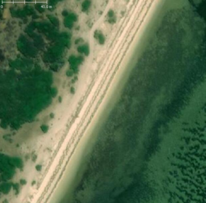
| natural=beach | Beach | Landform along a body of water which consists of sand, shingle or other loose material. | |
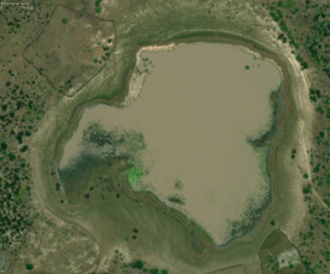
| natural=water | Natural water | Any body of water, from natural such as a lake or pond to artificial like moat or canal.
You can further the kind of water body with water=*, e.g. water=pond |
Landuse
Landuse represents the specific use of soil for human activities.
Landuse can be mapped as:
- Polygon, if it doesn’t have any different landuse class inside it. The rule here is 'One_feature,_one_OSM_element'. As for that, polygons mapped as landuse must not intersect or overlap landcover polygons.
- Multipolygon relation, if it does have other landuse classes completely falling inside the outer polygon. In this case, the outer polygon may be composed by many separate lines. The class of the outer landuse is assigned to the relation and not to the outer ways.
The most common landuse classes in this area are:
Landuse classification
| Tag (key, value) | Type | Description | Satellite image |
|---|---|---|---|
| landuse=meadow | Meadow | Used to tag an area of land primarily vegetated by grass plus other non-woody plants, mainly used for hay (meadow) or for grazing animals (pasture).
It can be further specified with meadow=*. |
|
| landuse=farmland | Farmland | An area of farmland used for tillage (cereals, vegetables, oil plants but also flowers). | |
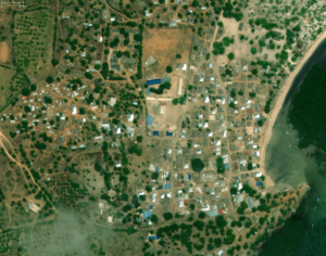
| landuse=residential | Residential area | An area of land dedicated to, or having predominantly residential buildings such as houses or apartment buildings.
This landuse tag is mostly used for larger areas and not at parcel granularity. |
|
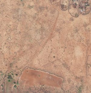
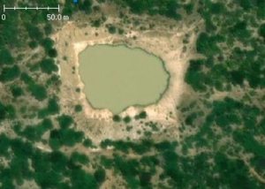
| landuse=reservoir | Water reservoir | Man made body of stored water. Usually formed by a dam over a natural water course, water then backs up into a natural valley or depression.
The presented case is for uncovered reservoir. |
|
| landuse=reservoir + man_made=reservoir_covered
(It has to be mapped as a Point) |
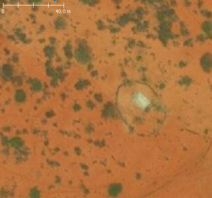
Covered water reservoir | Man made body of stored water. Usually formed by a dam over a natural water course, water then backs up into a natural valley or depression.
The presented case is for a covered reservoir. They are common in Somalia, as to protect water from evaporation due to sunlight. |
|
| landuse=military | Military area | Area used for military purposes
In some countries it is prohibited to map military areas, or legal status of these actions is unclear - but it is not against OSM rules to map those areas. |
|
| aeroway=aerodrome | Airport | The extent of an airport land (often co-incident with a barrier of some kind). |
|
Point of interest and other features
A point of interest (POI) is a term used in cartography for the choice to represent a particular feature using an icon that occupies a particular point.
- A POI does not necessarily have to be stored as a point in a geodatabase (see #In OSM for details particular to us); it merely is represented as a point in the user interface (for example, in the standard tile layer).
- Do not take the 'of interest' part too literally; a feature might be quite ordinary, such as the postboxes mentioned above, and only in the context of the map user wanting to mail something does it become "interesting". As such, POIs are often amenity=*.
Some examples of POIs in this area are:
POIs classification
| Tag (key, value) | Type | Description | Satellite image |
|---|---|---|---|
| man_made=tower + | Communications tower | A tower is a free-standing structure which is higher than it is wide. It can stand alone or as a part of a bigger building.
A communication tower is no bigger than 100 m and has not the transmission facilities in the tower dome. |
|
| man_made=water_tower | Water tower | A water tower is a structure which contains a water tank at an altitude. | |
| amenity=place_of_worship +
religion=* |
Religious site | All places of worship, independently of the religion or denomination, get the tag amenity=place_of_worship.
This covers mosques, churches, cathedrals, synagogues, temples, etc. |
