United States/Data
| United States | openstreetmap.us | Projects | Tags | TIGER fixup |
|---|---|---|---|---|
| OpenStreetMap US | Users | Data Imports | Resources | Category |
As of January 2013, there is an e-mail list dedicated to imports in the United States; see http://lists.openstreetmap.org/listinfo/imports-us for details.
TIGER Import

- See the TIGER page for full details.
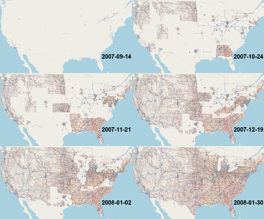
The TIGER data set is a massive database of U.S. streets, available in the public domain from the federal government. The data is limited in accuracy, and 'unclean' for various reasons, but it offers a very good starting point for mapping in the U.S. The process of importing this data into the OSM database is now complete. The scripts developed for this purpose also performed a number automated cleanup tasks. OpenStreetMap is now probably the best source of 'open content' U.S. street map data!
But it's not finished. See TIGER fixup for details of aspects in which TIGER data is not ideal. OpenStreetMap contributors in the U.S. can work on improving this data at a local level.
|
|
USGS GNIS Import
- See the USGS GNIS page for full details.
The Geographic Names Information System (GNIS) is the authoritative database on place names. The tags may possibly be imprecise in position, so GNIS-tagged features should be corrected for position and especially name, keeping the gnis:feature_id=* tag intact. These corrections can be submitted to the USGS directly, and will also be shared back from OSM, making GNIS possibly the only database in the US to share work from OSM.[1] Because of this two-way connection, it is very important that GNIS features only be deleted or renamed if the feature no longer exists or the name is definitely wrong.
USGS National Hydrography Dataset (NHD) Import
- See the National Hydrography Dataset page for full details.
The National Hydrography Dataset (NHD) is a United States-wide hydrography dataset which was partly imported into OpenStreetMap. This includes features such as flowing water (streams and rivers), waterbodies (lakes, ponds, wetlands) and human alterations of these features (dams).
Because the quality varies, it is now imported manually with tedious quality assurance.
The NHD was retired in October 2023, to be replaced by the 3DHP.
Microsoft Building Footprints with Heights
- Main article: Microsoft Building Footprint Data
Microsoft created two building footprint datasets, together covering all 50 states, and is contributing the data to the OpenStreetMap community for import consideration. A building footprint dataset with height attributes, covering select metropolitan areas, was created manually by tracing high-resolution imagery. A more comprehensive dataset covering all the U.S. was created automatically with computer vision.
Other potential datasources
Other potential datasources are listed at: Potential Datasources#U.S.. Feel free to add new datasets to that list. Please note that imports should only be undertaken after the dataset has been assessed, in accordance with the Import/Guidelines.