User:Aseerel4c26/Sandbox
Jump to navigation
Jump to search
Working with GNSSs overview
A good way to get involved in the OpenStreetMap project is to upload traces produced by a Global Navigation Satellite System (GNSS) receiver. The most popular GNSS is GPS. A typical GNSS trace is a recording of your location every second or every meter. Convert it to GPX format if it was not done for you automatically. The collected data can be displayed as a background of thin lines or little dots within your map editor and help you add map features (such as roads and footpaths), similar to tracing from aerial imagery.
This series of pages guides through the usual process:
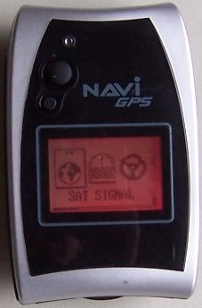
1. Record · 2. Convert · 3. Modify · 4. UploadRecording GPS tracks requires a GNSS Receiver (like GPS, Galileo, GLONASS, etc.) with the ability to save your location. Satellite Receiver is a device which allows you to accurately pinpoint your position, by receiving radio signals from satellites. To record tracks and/or waypoints, you will need to select a sat unit with this function — a specialized unit, but also a smartphone are both good candidates.
- If you are hosting a mapping party, you can borrow the GPS units for loan.
Types of GNSS (or satellite) receivers
There are many types of satellite receivers, from a simple logger to smartphones with embedded GNSS chip(s). The most useful for OpenStreetMap listed below.
... ... ...


