User:Ast/PisteMaps
< User:Ast
Jump to navigation
Jump to search
Piste Maps Rendering
I and User:Studerap have enhanced the Osmarender to render piste maps as proposted on Proposed_features/Piste_Maps. The patch is located at [1] and should work for zoom levels 13-16.
Piste map elementes
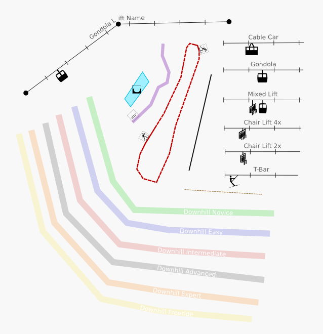
The following image collects most elements available in zoom level z15.
Preview of Zermatt
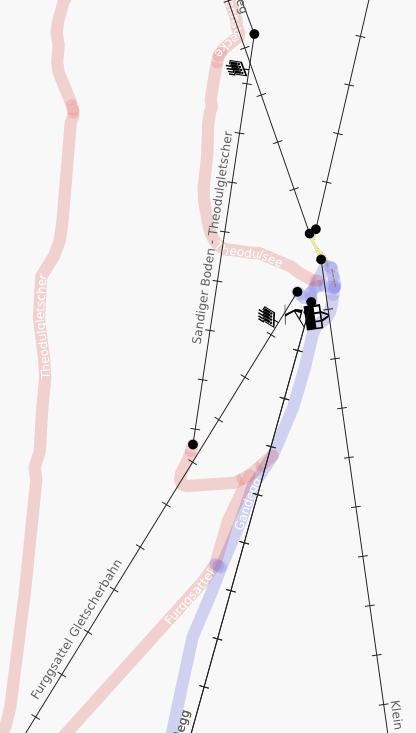
This is a z15 rendering of Trockener Steg, Zermatt, CH. Aerialways and surface lifts got an icon. Pistes are labeled either with its name or its ref or both.
Preview of Brigels
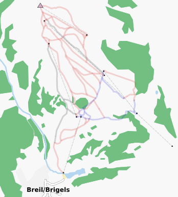
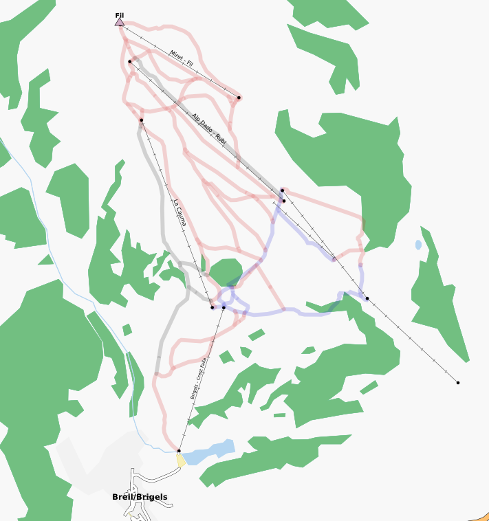
In z13 only aerialways, surface lifts and pistes get rendered. In z14 aerialway and surface lifts get a label.
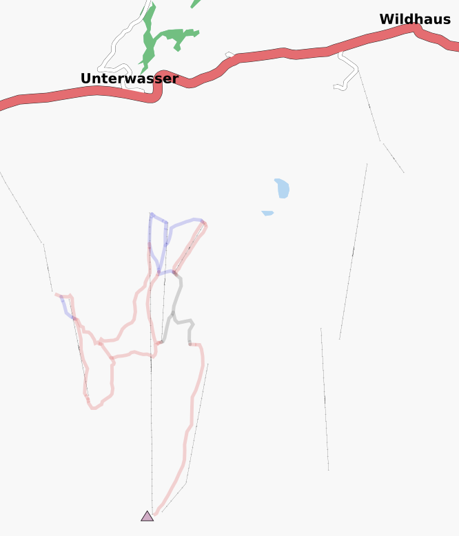
Preview of Unterwasser and Wildhaus
Mapped by User:Studerap
