User:Yani
Yani has been responsible for adding most of the eastern part of Toronto to date (November 2007), there was basically nothing in Scarborough when he started, and some other notable features in the Greater Toronto Area (GTA) outlined below. Also responsible for most of the rail in Toronto as of November 2007 except the existing VIA Toronto<->Ottawa railway.
Major Projects
Toronto
Rivers
- The Don River
Ravines and Parks
- High Park
- Riverdale Park
Airports
- Pearson
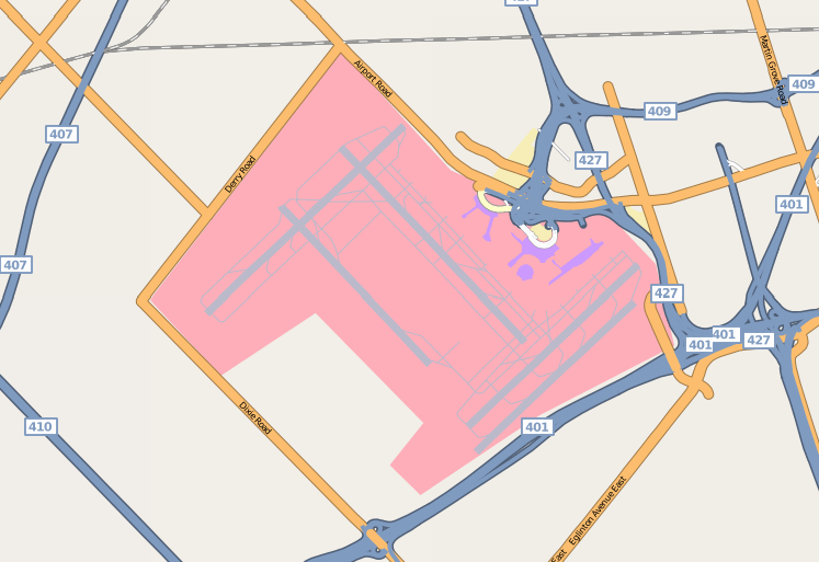
Added all the taxiways for Pearson International Airport, revamped the runways and outlined terminal and other buildings as of the time of the Yahoo satellite imagery. Wish I could take credit for the highway connections, kudos to whoever mapped that maze of insanity!!
- Downsview
Scarborough
Roads
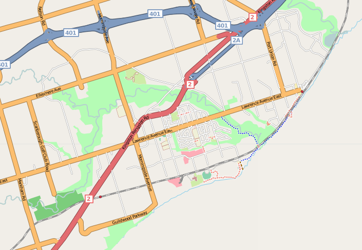
Majority arterial and grid roads, including Highway 2, 2A, Lawrence Ave East, etc. Large amount of detail in West Hill and West Rouge area, and the far east end of Scarborough. Also added all the missing 401 onramp/offramps for Scarborough, including the Highway 2A/401, and maze surrounding Scarborough Town centre.
Rivers
- Rouge River
- Highland Creek
Ravines and Parks
- East Point Park
- Morningside Park
- Lower Highland Creek Park
- Colonel Danforth Park
- Rouge River Park
- Toronto Zoo
Buildings/Areas
- Scarborough Town Centre
- Scarborough Civic Centre
- Highland Farms
- University of Toronto at Scarborough
Markham
Roads
Added initial Highway 7 way in Markham, 407 connections and major north/south arterial roads (e.g. Kennedy). Also added IBM Software Lab.
Buildings/Areas
- "Toronto" IBM Software Lab
Pickering
Roads
Added Highway 2, and 401 express/collector system, also added Twyn Rivers Drive and Sheppard Ave.

