Pt:Android
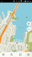
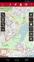
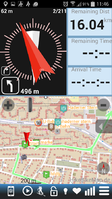
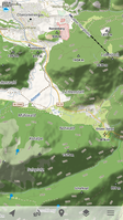
Android is a Linux-based operating system for mobile phones and other mobile devices. Android devices can be used to view and edit OpenStreetMap-based maps as well as to record GPS tracks that can be uploaded to OSM to aid in editing.
For more information about Android and OpenStreetMap, see also the Android category.
https://www.openstreetmap.org
OpenStreetMap.org
The most basic way to use OpenStreetMap on your Android device is to open https://www.openstreetmap.org/ in a Web browser such as Chrome. The website is optimized for small screens such as those found on many Android phones; however, the slippy map is limited to basic gestures such as drag-to-pan and pinch-to-zoom. OpenTouchMap has slightly better multitouch support. For a map-viewing experience similar to that of the Google Maps application, check out the applications below. Similarly, for contributing to OpenStreetMap, the iD editor embedded on the website supports basic interaction on tablets, but you may find an Android editor application to be much more convenient.
OpenStreetMap applications
- Artigo principal: Comparison of Android applications
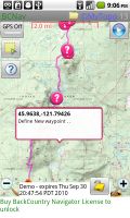
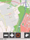
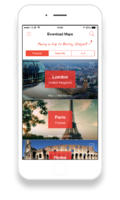
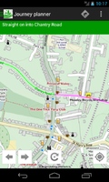
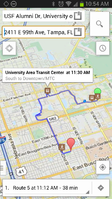
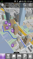
The following applications rely on OpenStreetMap for core functionality, so they’re good ways to use OpenStreetMap on your Android device. Each of these applications is actively maintained, with a new release within the last 18 months, as of 11:02, 26 June 2016 (UTC). For a comprehensive comparison of all available Android applications, see Comparison of Android applications.
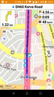
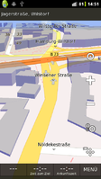
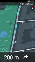
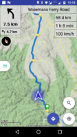
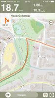
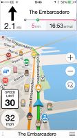
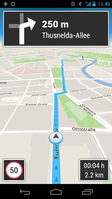
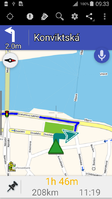
These applications provide turn-by-turn navigation and, in many cases, voice guidance:
Open Source
Proprietary / Closed Source
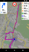
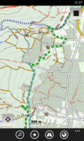
- Galileo Offline Maps main.png
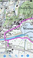
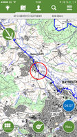
- Locus with recorded track.png
It is also possible to load OpenStreetMap-based maps into the following applications:
Editing the map
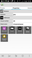
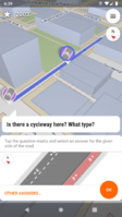
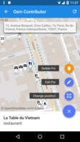
These advanced editor applications allow you to contribute to OpenStreetMap by editing the map directly:
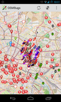
These applications are specialized OSM editors not allowing direct editing of data:
These applications also contain some limited editing functionality:
- Locus Map Pro screenshot with geocaches.png
These applications allow you to contribute imagery for armchair mappers to use:
Augmented reality
These applications overlay OpenStreetMap data atop a real-time view of the device’s back camera:
Track recording
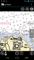
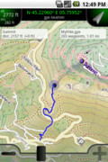
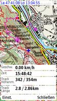
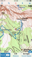
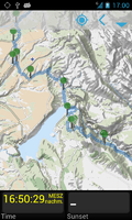
These applications allow you to record your movement as GPS tracks. You can upload your GPS tracks to OpenStreetMap to help you add features to the map. Some of these applications also appear in the Navigation section of this page, making them granular enough for use in turn-by-turn navigation directions. Other applications that appear here have orienteering features that are still useful for that purpose.
- Galileo Offline Maps main.png
- Locus with recorded track.png
- Maps.me - Record GPS track in DAT format. The track will be removed automatically from the map after the time interval will expire (1 hour by default).
GPS accuracy
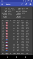
If you are recording GPS tracks with an Android phone, it can be useful to have an application to help you troubleshoot your GPS data. A GPS testing application can help you determine which GNSS satellite networks your phone supports (Beidou, Galileo, GLONASS, GPS, QZSS, etc.). It can also help you determine the satellites it can see and is using at any given time, which frequencies your device listens on (whether it supports dual band signals, for example), and the accuracy of the data your phone reports.
GPSTest (Google Play) (Project page)
Travel planning
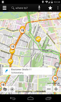
These applications let you search for and learn about places on the map. Many of them also support offline maps.
- Locus with recorded track.png
Games
- Artigo principal: Games#In the game itself
These games rely on OpenStreetMap data to power gameplay:
- Pokémon Go App.jpg
Miscellaneous
- Snapchat (15021193310).jpg
Applications using OpenStreetMap
These applications also use OpenStreetMap in some fashion:
Libraries for developers
- Artigo principal: Frameworks
Several libraries make it easy for Android developers to incorporate OpenStreetMap in their own applications, whether as a static map image, a fully interactive map, or more sophisticated uses like geocoding and routing. Another benefit of using these libraries is that they respect OpenStreetMap’s tile usage policy by fetching tiles and other resources from dedicated servers instead of OpenStreetMap’s donated servers.
There are also a number of projects on GitHub and Google Code with both 'android' and 'openstreetmap' tags.
Maps
| Library | Minimum API level | License | Notes |
|---|---|---|---|
| Carto Mobile SDK | 11 | BSD | Supports 3D city overlays, editable vector overlays and is highly customizable. |
| CartoType | 14 | Proprietary | Offline rendering and routing library using OpenGL ES; customisable style sheets; 2.5D perspective view with 3D buildings |
| GLMap | 14 | Proprietary | Offline or online vector map rendered on device using OpenGL ES |
| LocationMapViewer | 10 | GPLv3+ | Android-Intent; "geo:"-Uri; gpx and kml file/url |
| Mapbox Android SDK | 15 | BSD | Customizable, interactive vector maps styled in Mapbox Studio and rendered using OpenGL ES. Hybrid components available for Cordova, NativeScript, React Native, and Xamarin. |
| Mapbox Android Services | 15 | MIT | Connects to Mapbox’s Static API |
| mapsforge | 9 | LGPLv3 | Map rendering, map overlays, and more |
| Navmii Mobile SDK | Unknown |
Proprietary | |
| OSMBonusPack | 10 | LGPL with exceptions | Addon for osmdroid: Markers, Bubbles, Routes, Directions, KML and more... |
| osmdroid | 7 | Apache 2 | OSM based replacement for Android's MapView (v1 API) class. Supports online and offline tile sources and overlays for plotting icons, tracking location, drawing shapes. |
| OsmSharp | Unknown |
GPLv2 or commercial | Offline vector map rendering in C# using Xamarin |
| Skobbler Android SDK | 14 | Proprietary | |
| Tangram ES | 15 | MIT | 2D and 3D map renderer using OpenGL ES, used to have its own vector tile service but as Mapzen went bankrupt it no longer exists. |
| VTM | 10 | GPLv3+ | 2D and 3D map renderer with own vector tile service; compatible with Mapsforge. |
| WhirlyGlobe-Maply | Unknown |
Apache 2 | Geospatial display kit for iOS and Android based on OpenGL ES. Implements a 2D map and a 3D globe and can handle image base maps and tiled vector maps based on OSM data. |
Geocoding
| Library | Minimum API level | License | Notes |
|---|---|---|---|
| mapsforge | 9 | LGPLv3 | POI indexing and search |
| Pelias Android SDK | Unknown |
Apache | Connects to Mapzen’s Pelias Geocoder instance |
Directions
| Library | Minimum API level | License | Notes |
|---|---|---|---|
| CartoType | 14 | Proprietary | Rendering and routing library; supports motor vehicles, bicycles, walking, and more; can take gradients into account |
| GraphHopper | Unknown |
Apache 2 | Routing engine for car, bike and more |
| Mapbox Android Services | 15 | MIT | Connects to Mapbox’s Directions API for route data |
| mapsforge | 9 | LGPLv3 | Route planning and navigation |
| Navmii Mobile SDK | Unknown |
Proprietary | |
| On The Road | Unknown |
Apache | Connects to Mapzen Turn-by-Turn (powered by Valhalla) |
| osm-common | Unknown |
Apache 2 | Nominatim |
See also
- Android/Troubleshooting
- Software - root page for all OSM applications
- Accessibility resources for developers:
- Talkback, a free Google speech synthesizer is available from the Android Market
- "Eyes free" - How to make programs accessible for the blind
- Android accessibility
- iOS apps
| Operating systems based on GNU/Linux kernels |
|---|
| Android · Arch · Debian · Fedora · Firefox OS · Gentoo · Mandriva · Mint · OpenSUSE · Red Hat · sidux · Slackware · Tizen · Ubuntu · LinuxMint |
